THIS WEEK’S FEATURED WALKS:
ALL TRAILS
6 INCREDIBLE WALKS WITHIN 2 HOUR’S DRIVE OF MANCHESTER
WALKS NEAR MANCHESTER
Check out our favourite walks less than 2 hours away from Manchester…
Manchester: the heart of everything. From our amazing people to the beautiful buildings and unrivalled culture, we have lots to shout about here in the world’s greatest region.
But all the things that make our city so great, make us appreciate being able to escape every so often even more. And what better way to do just that than spending the day in the wide open.
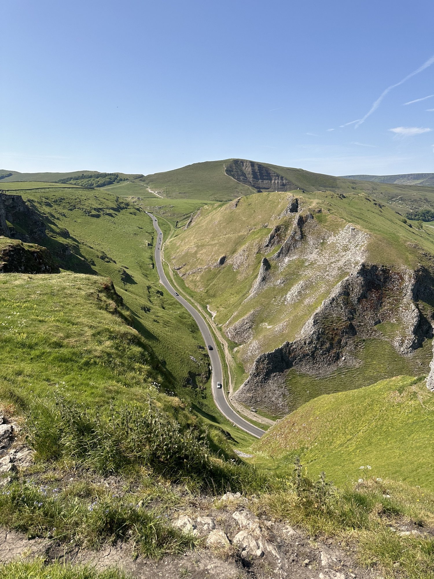
Whether it's a quiet hillside stroll or strenuous mountain hike, nothing quite blows those cobwebs away like a few hours up on the moors. And with the Peak District right on Manchester’s doorstep, accessing stunning scenery and dramatic views may not be as hard as you think.
We've rounded up some beautiful walking spots found on the borders of our region, proving that you don't have to travel too far from your local area to spend time in the great outdoors.
Start: Gradbach Car Park, SK17 0SU
Distance: 6.65 miles
Duration: 2-3 hours
Elevation: 900 feet
Navigation: follow our route here
Start: Binn Green Car Park, Oldham, OL3 7NN
Distance: 4.13 miles
Elevation: 950 feet
Duration: less than 2 hours
Navigation: follow along here
Distance: 8.32 miles
Time: 2-4 hours
Ascent: 900 feet
Start: National Park Centre, Malham
Navigation link: follow our route here
Start: Castleton Visitor Centre, S33 8WN
Distance: 5.02 miles
Elevation: 900 feet
Duration: allow approx. 2 hours
Navigation: follow the route here
Start: Rivington Hall Car Park, Bolton, BL6 7SD
Distance: 6.15 miles
Duration: 2-3 hours
Elevation: 1,300 feet
Navigation: follow our route here
Start: Arnfield Fly Fishery, SK13 1HP
Distance: 3.31 miles
Elevation: 575 feet
Duration: approx. 1.5 hours
Navigation: follow the route here
DARWEN TOWER CIRCULAR
Enjoy this moorland stroll just a short drive away from the city…
Start: Tockholes Car Park, Darwen, BB3 0LR
Distance: 4 miles
Elevation: 600 feet
Duration: 1.5 hours
Difficulty: Moderate
Navigation: Follow step-by-step here
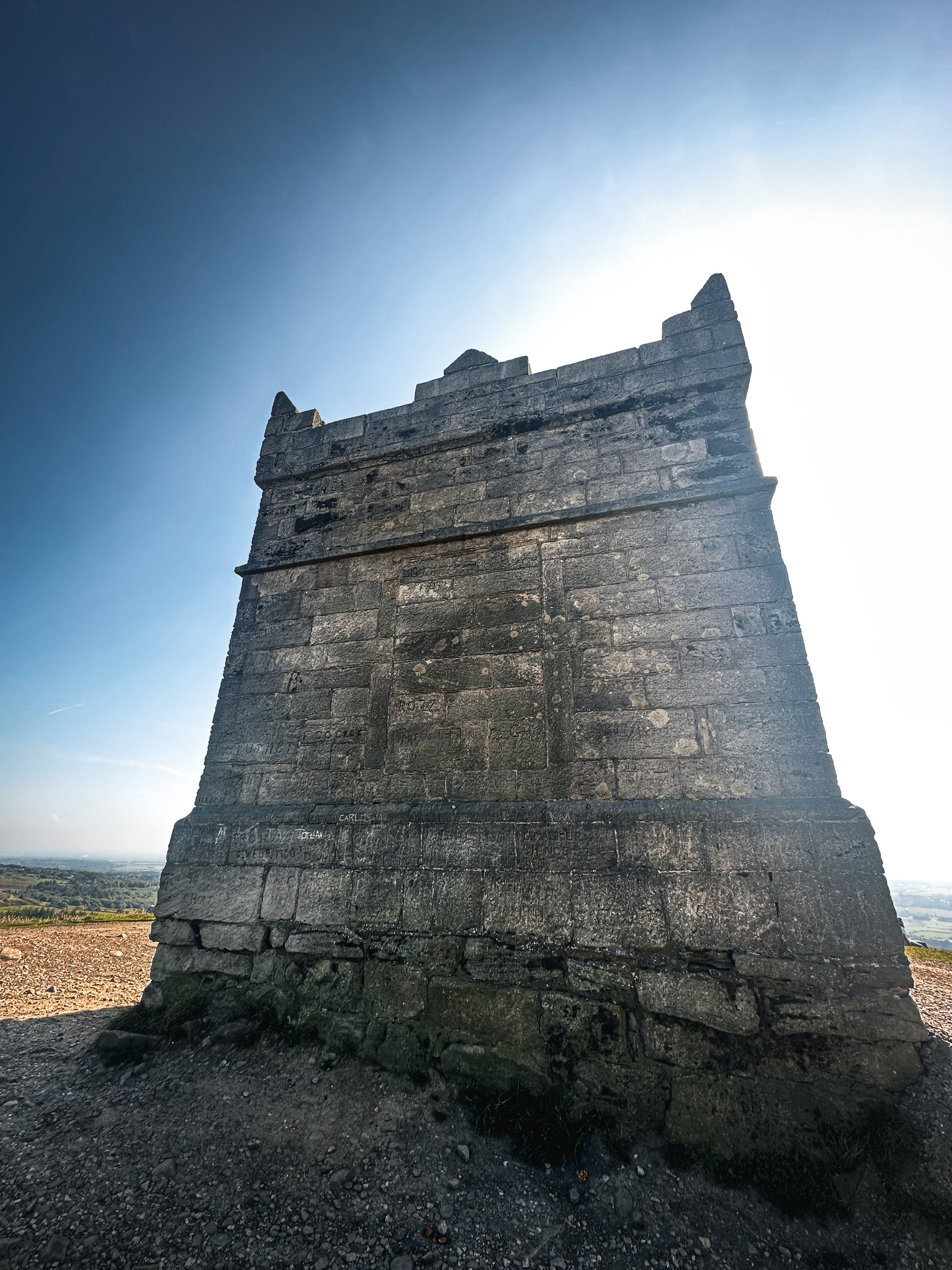
Explore the stunning moorlands surrounding Manchester with a gentle climb up to Darwen Tower, also known as Jubilee Tower, situated on the picturesque West Pennine Moors. Built in 1989 to commemorate the Diamond Jubilee of Queen Victoria, Darwen Tower — known officially as Jubilee Tower — is located on the West Pennine Moors and overlooks the town. Thanks to its vantage point high up on the moors, this walk offers spectacular views of the surrounding area. On a clear day, you’ll be able to spot Blackpool Tower and see as far as Cumbria and North Wales.
There’s different routes you can take to the tower, depending on how challenging you want your walk to be. A popular route is a two mile circular walk starting at Sunnyhurst Wood Car Park, which is around 40 minutes drive from Manchester. We opted to start from Tockholes Road Car Park, where you’ll find a pub and two cafes to fuel up in before you set off on the short climb up.
The perfect starting point, if you ask us.
Fancy giving this one a go? Follow along here
KNARR QUARRY AND BROKEN AQUEDUCT WALK, TINTWISTLE
A lesser-known trail starting from Tintwistle up to the Seven Falls near Crowden…
Start: Tintwistle, SK13 1JN
Distance: 5.5 miles
Duration: 2 hours
Elevation: 975 feet
Difficulty: Easy
Navigation: Follow the route step-by-step here
Route Highlights
Holybank Quarry
Known locally as John Henry Quarry. The quarry was established in the late 1800's to supply stone for the Manchester Water Corporation's Longdendale Reservoirs. In the mid 1900's the demand for such stone dried up. The land at that time was owned by United Utilities who approached Tintwistle Parish Council, it is believed in the 1980's, to manage the site. In 2021, the council decided to rewild the site.
Tintwistle Knarr Quarry
Knarr Quarry, located near Tintwistle, is a historically significant site known for its rugged terrain, exposed rock formations, and panoramic views. Once a bustling industrial quarry, its remnants showcase both geological features and a glimpse into the area's industrial past. The easiest way to approach the quarry face is to look for the large stone block at the edge of the path, that has two shallow seats carved out of it. Climb up onto that, then follow your nose.
Hawker Hurricanes Crash Site
On February 22, 1945, during a training exercise from RAF Calveley, Cheshire, three Hurricane MkIIC aircraft conducted a formation flying mission in challenging weather. With poor visibility due to hazy clouds in the valley, the English leader attempted to pull up upon spotting the hillside, but tragically, all three planes collided with it at high speed. The casualties included Flight Sergeant J.V. Robinson (PZ854), Sergeant E.M.L. Marien (PZ851), and Sergeant M.H.L. Orban (PZ765). The crash sites reveal minimal remnants of the planes, with possibly two visible indents on the hillside, while the third may be obscured by the surrounding bracken.
Extending the walk
Bottoms Reservoir: A leisurely stroll around Bottoms Reservoir offers peaceful surroundings and panoramic views. It's a perfect option for those seeking a shorter, more relaxed walk.
Higher Swineshaw Reservoir: For a slightly longer trek, venture to Higher Swineshaw Reservoir. This circular route treats you to breathtaking vistas and serene landscapes, making it an ideal choice for those craving more nature immersion.
Bottoms Reservoir to Dovestone Reservoir:
Start at Bottoms Reservoir and follow the trail that leads to Dovestone Reservoir. Take in the beauty of both reservoirs and the picturesque landscapes in between. The round trip is approximately 3.5 miles.
Greenfield Circular Walk:
Begin at Bottoms Reservoir and head east towards Greenfield. Explore the charming village and then return to the reservoir using a different path. This circular walk is about 4 miles in length.
Good to knows
Parking at the starting point of our komoot route is limited. We recomend visiting off-peak or reversing the walk by parking at Arnfield Fly if visiting on a weekend.
Facilities: Toilets and cafe at Arnfield Fly
Fancy giving this one a go? Follow along here
ERRWOOD HALL LOOP, GOYT VALLEY
Panoramic views, magical woodlands and peaceful picnic spots are just some of the reasons you’ll want to head to Goyt Valley — and at just 3 miles for a round trip, you won’t find a better local short walk than this one…
Start: Errwood Hall Car Park, SK11 0AR
Distance: 3 miles
Elevation: 500 feet
Duration: 1-2 hours
Navigation: follow the route here
This relaxed Peak District walk is beautiful in any season, but the way the woods are painted with gorgeous auburn hues come late September should make this route appear high on your list of autumn woodland walks.
Lying just a few miles northwest of Buxton, Goyt Valley is magical place — one that’s gained popularity from visitors since Victorian times.
Once a prosperous and industrious community, the signs of a time gone by are all but extinct, bar from the ruins of Errwood Hall. Back in 1937, the construction of Fernilee Reservoir completely changed this beauty spot’s landscape, but the area remains a wonderfully peaceful place to visit to this day.
Walk Overview
This leisurely three-mile walk takes in three of the most historic sites in this part of the Goyt Valley; the ruins of Errwood Hall, the hilltop cemetery of the Grimshawe family who lived here from around 1840 to 1930, and St Joseph’s Shrine, the small circular stone building dedicated to the Spanish companion of Mrs Jessie Grimshawe. From here the walk ascends a gentle slope to reach the summit of Foxlow Edge before returning to Errwood Hall carpark.
Errwood Hall: A Glimpse into the Past
Errwood Hall, now a ruined site, was once the centerpiece of the Grimshawe estate. Constructed in the 1830s by Samuel Grimshawe, this grand mansion boasted Victorian Gothic architecture and stunning views of the Goyt Valley. The Grimshawe family, who resided here from 1840 to 1930, played a significant role in the area's history.
During its heyday, Errwood Hall hosted lavish gatherings and social events, but tragedy struck in 1930 when the estate was demolished due to financial difficulties. Today, the haunting remains of Errwood Hall stand as a testament to a bygone era, inviting visitors to explore its enchanting grounds.
Goyt Valley Highlights
Pym Chair
Folklore more your thing? Local legend has it that a highwayman called Pym used to lay in wait to ambush those who used the old packhorse route, hence the name Pym Chair given to one of the peaks in this mesmerising landscape.
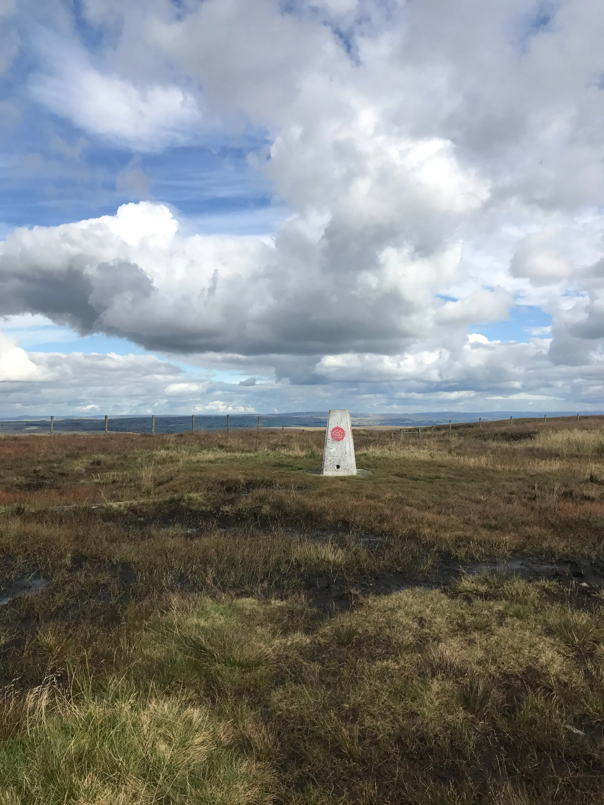
Shining Tor Trig Point
Shining Tor, the highest point in Cheshire, is often included in walks through Goyt Valley… because if you can bag a few trigs in one walk, why wouldn’t you?
Fancy giving this one a go? Follow the route here
FAIRYTALE WALKS NEAR MANCHESTER
Looking for the best walks near Manchester? Look no further… these fairytale walks are perfect for hitting the trail in 2024.
Let’s face it — we need a touch of magic to get us out in the weather we’ve been having lately. So let these fairytale walks guide the way…
1) Lantern Wood, Lyme Park
Start: Lyme Park, Disley
Distance: 6.83 miles
Elevation: 1,050 feet
Duration: 2-3 hours
Navigation: follow our route here
2) Giddy Edge, Matlock
Start: Matlock Town Centre, DE4
Distance: 5.41 miles
Elevation: 1,175 feet
Duration: 2.5 hours
Follow the route here
3) Lud’s Church, Gradbach
Start: Gradbach Car Park, SK17 0SU
Distance: 6.65 miles
Duration: 2-3 hours
Elevation: 900 feet
Navigation: follow our route here
4) Goyt Valley, Peak District
Start: Whaley Bridge, SK23 7LX
Distance: 7.71 miles
Elevation: 1,075 feet
Duration: 2-3 hours
Navigation: follow the route here
5) Chee Dale Stepping Stones, Buxton
Start: Miller’s Dale Car Park, SK17 8SN
Distance: 5 miles
Duration: Approx. 2 hours
Elevation: 525 feet
Navigation: follow our route here
6) Nine Ladies Stone Circle, Stanton Moor
Start: The Druid Inn, Birchover, DE4 2BL
Distance: 6.81 miles
Elevation: 925 feet
Duration: 2.5 hours
Difficulty: Easy
Navigation: Follow our route here
7) Fairy Wood, Hathersage
Start: Oddfellows Road, Hathersage, S32 1DD
Distance: 4.63 miles
Duration: 2 hours
Elevation: 800 feet
Difficulty: Easy
Navigation: Follow the route step-by-step here
HATHERSAGE - FAIRY WOOD WALK
Seek some relief from the windy peaks and enjoy this short walk that’s perfect for a winter’s day…
Start: Oddfellows Road, Hathersage, S32 1DD
Distance: 4.63 miles
Duration: 2 hours
Elevation: 800 feet
Difficulty: Easy
Navigation: Download the GPX file here
Starting and ending in quaint Peak District village, Hathersage, this is a perfect route if you prefer your walks to start and end in a country pub or cosy cafe.
The route follows well-made paths up and out of the village, past the church, through beech woodlands, and up over the tops towards Stanage Edge, before meadnering back down into the village on country lanes.
Hathersage
This picturesque village in the Derbyshire Dales is adorned with stone cottages, a babbling brook, and welcoming faces aplenty. Take a moment to explore the local shops, cafés, and St Michael’s Church, where you can take a visit to Little John’s Grave.
A Legendary Wander: Discovering Little John’s Grave
Our walk leads you past St. Michael's Church at the start of the route, where you’ll find the final resting place of Little John, legendary companion to Robin Hood. If rich folklore and enchanted woodlands sounds like your idea of a great day out, this walk is for you.
Stanage Edge
Leaving the Fairy Wood behind, our route ascends towards the moors at the base of Stanage Edge. This iconic gritstone escarpment offers breathtaking panoramic views of the surrounding landscapes.
Good-to-knows
Facilities: Parking, Public Toilets, Cafes and Pubs
Parking: Parking is pay and display at Oddfellows Road, S31 1DD
Public Transport: Manchester Piccadilly > Hathersage, 56 mins.
Fancy giving this one a go? Follow the route here
CHRISTMAS DAY WALKS
Check out our tried-and-tested Christmas Day walks
Are you a Christmas Day moocher or a Boxing Day cobweb blower?
We’ve always liked to kick off the big day festivities by heading off on a Christmas walk so we can get home and cosy and fill our boots with Yorkshire puds.
Check out our tried-and-tested places for a Christmas Day wander.
1) Lyme Park
Start: Lyme Park, Disley (alternatively you can complete the walk in reverse by parking at The Coppice)
Distance: 4.23 miles
Elevation: 430 feet
Duration: allow approx. 2 hours
Follow the route here.
2) Dunham Massey
Follow the route we mapped out for The Manc here.
3) Chadkirk Chapel
Start: Chadkirk Chapel, SK6 3LB
Distance: 6.29 miles
Duration: allow approx. 2 hours
Follow the route here.
ROBIN HOOD’S STRIDE AND NINE LADIES STONE CIRCLE
Mystery and myth await on this 7 mile adventure to some of Derbyshire’s best landmarks…
Start: The Druid Inn, Birchover, DE4 2BL
Distance: 6.81 miles
Elevation: 925 feet
Duration: 2.5 hours
Difficulty: Easy
Navigation: Follow the route here
As witchy walks go, this 7 mile route in The Peak District is up there.
Where else can you enjoy a pint at a pub named The Druid Inn shortly after visiting a Bronze Age stone circle?
This easy-going walk has slowly become one of our all-weather favourites — atmospheric in winter, magical in spring, and a great place to pause in summer.
Birchover Village
The charming village of Birchover is nestled in the heart of the Peak District National Park, between the towns of Matlock and Bakewell in the county of Derbyshire. Birchover is one of the oldest recorded villages in the Peak District, having been referenced in the Domesday Book of 1086. As Peak District villages go, Birchover doesn’t garner quite the tourism and accolade as places like Castleton or Edale… making it perfect for those seeking a place to pause in the Peaks.
Birchover lies to the southeast of the Peak District National Park. Its location and proximity to Bakewell make it an easy place to stop at if you’re considering a visit to the very popular Bakewell area, for attractions such as Chatsworth House. The region around Birchover houses many interesting geological features such as Hermits Cave and Robin Hood’s Stride. They are easily explored and enjoyed on this Birchover and Stanton Moor circular walk.
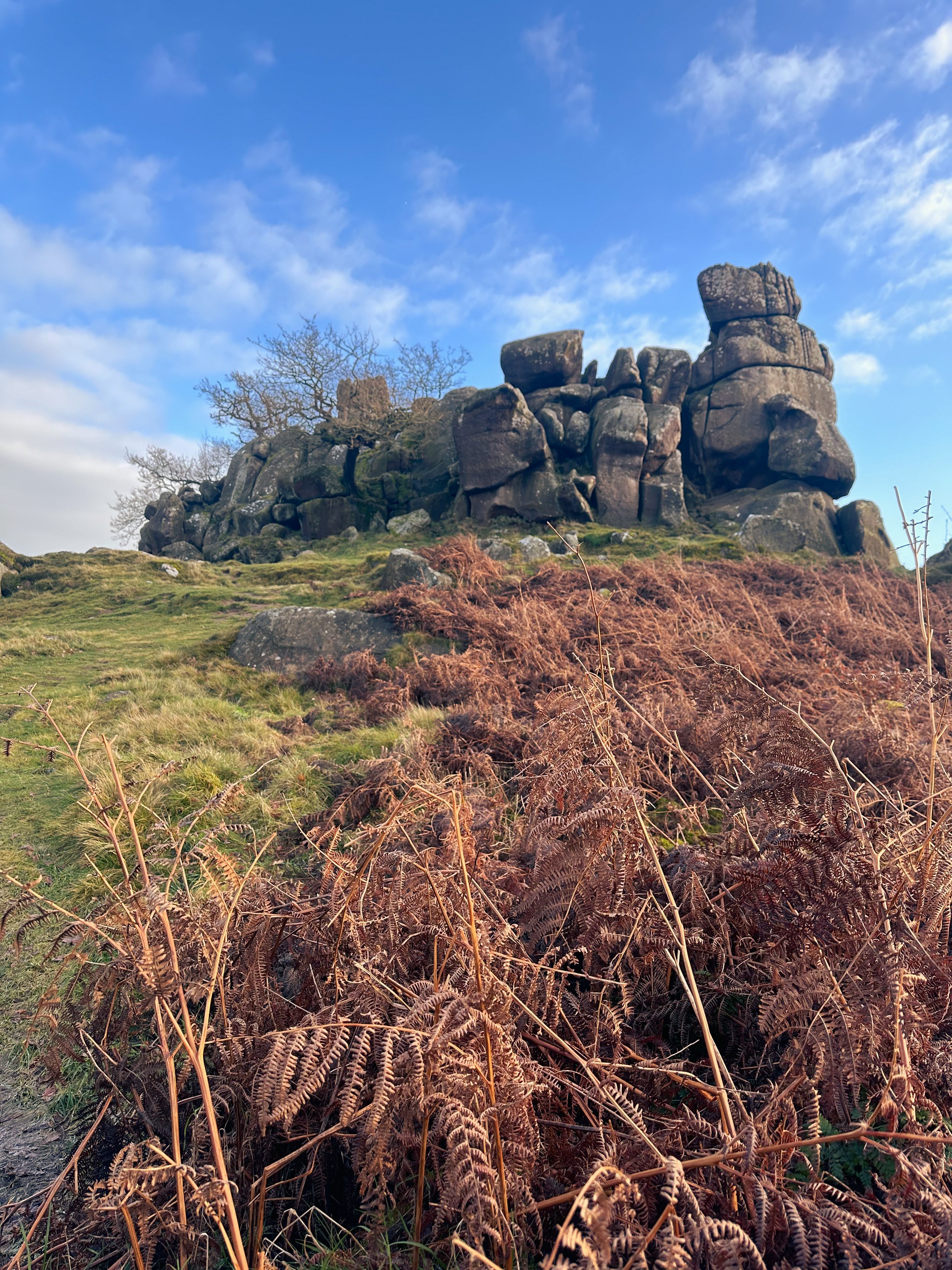
Robin Hood’s Stride
From the small lay-by parking area, our Birchover walk starts with a short climb up to Robin Hoods Stride and Hermits Cave. This forms a quick out and back. You can choose to visit at the start or end of your walk. But for us, we like to save the best ‘til last… and we’re suckers for a good old stone circle.
Cross the road and head uphill through open fields and charming woodlands. At the top, you'll find Robin Hood's Stride. The impressive pile of gritstone boulders, aka Mock Beggar’s Mansion, is an invitation for a bit of adventurous scrambling. Alternatively, soaking in the views from the base is just as rewarding.
From Robin Hood's Stride, gaze out at Bradley Rocks. Film buffs might recognise both locations, as they were featured in The Princess Bride.
Once you've taken in the charm of Robin Hood's Stride, it's time to explore Hermits Cave.
Hermits Cave
A short distance to the west of Robin Hoods Stride is Hermits Cave. Located at Cratcliffe Tor is a shallow shelter carved into the side of the rockface. This is Hermits Cave. Inside the hollow on the side of the hillside is a stone bench that looks like a bed and a carving of a crucifix. The carving in Hermits Cave is thought to date back to the 13th or 14th century.
Nine Ladies Stone Circle
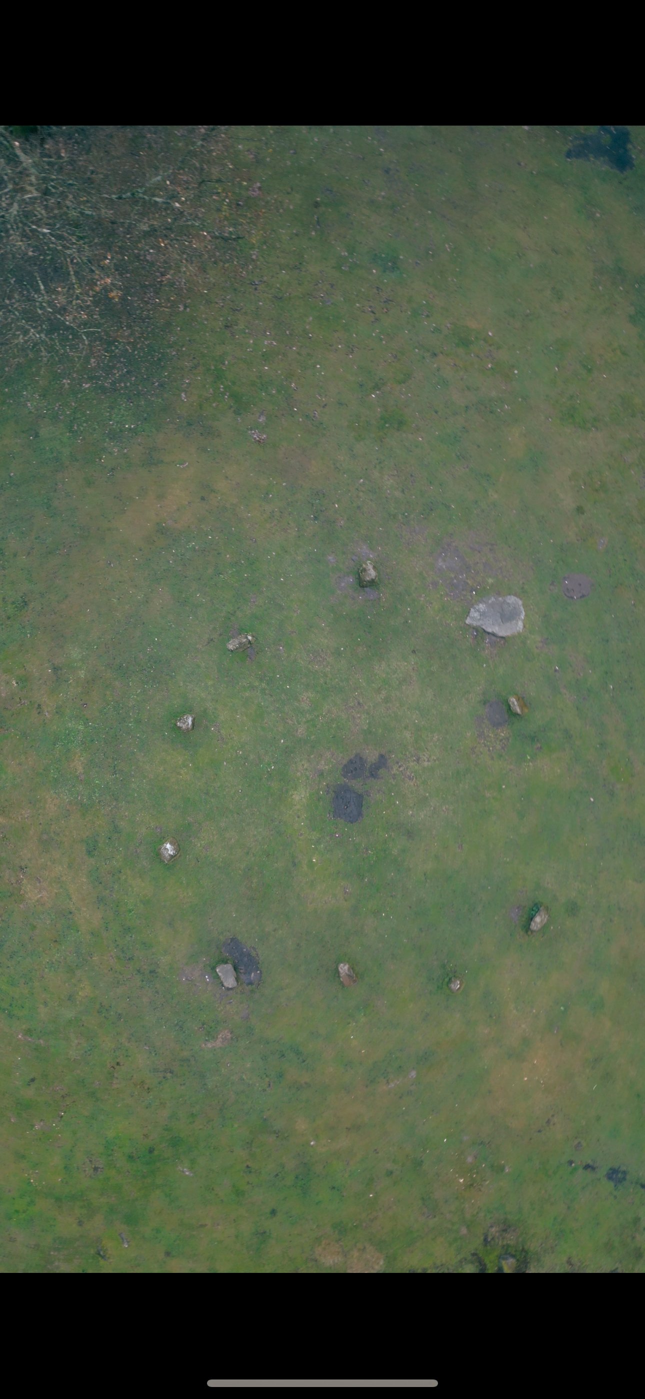
The name Nine Ladies comes from the folk tradition of nine women dancing on the Sabbath being turned to stone. The stones are set on the inner edge of a slight bank, and form a ring about 40 feet around. Each stone is about 3 feet high and made from local millstone grit, a coarse sandstone. The circle is part of a complex of prehistoric circles and standing stones on Stanton Moor.
Dating back to the Bronze Age, around 4,000 years ago, the circle was most probably constructed by the people who lived on and farmed in this area at the time, as a site where they could celebrate and commemorate the most important moments of life and death in their community.
The vast open moorland of Stanton Moor is so significant in terms of its ancient archeology that the entire moor is protected as a Scheduled Ancient Monument. The area was a valuable resource for farming, wood and stone for our ancient ancestors.
There are more than seventy burial barrows on the moor and four stone circles, of which the Nine Ladies Stone Circle is one.
Slightly smaller than the Nine Ladies Stone Circle, with only six standing stones, is Doll Tor, also dating from the Bronze Age.
As well as the more ancient markers of past civilisation here, there is also still evidence of 17th and 18th Century packhorse routes, hollowed-out tracks in the heather made by the hooves of horses transporting goods from Cheshire and Sheffield.
Public Transport
Take the train from Manchester Piccadilly to Buxton > 1 hour. From Buxton, take the Transpeak bus towards Derby and alight at Picory Corner. From here, you’ll pick up the 172 bus towards Matlock, alighting at The Green in Birchover village.
Pitstops
The Druid Inn, with its rustic charm and selection of local ales, provides the perfect setting to relax at the start or end of your walk.
For those seeking a touch of elegance, The Flying Childers, named after the famous racehorse, offers a refined dining experience. Indulge in a hearty meal paired with a fine selection of drinks to round off your adventure.
Extend your adventure
Other attractions nearby: check out Chatsworth House and Haddon Hall for more historical attractions.
More stone circles: closeby to the Nine Ladies Stone Circle is Arbor Low Stone Circle, another prehistoric stone monument.
More caves in the Peaks: if you want more caverns like the Hermits Cave, check out nearby Thor’s Cave.
Fancy’s giving this one a go? Follow the route here
LYME PARK > SPONDS HILL WALK
Blow away the winter cobwebs on this hidden gem of a local route…
Start: Lyme Park, Disley, Stockport, SK12 2NR
Distance: 6.83 miles
Elevation: 1,050 feet
Duration: 2-3 hours
Navigation: follow the route here
The Walk
If you’ve followed our walks for a while, chances are you’ll be well acquainted with the beauty of Lyme Park (we certainly talk about this local gem enough!). What may surprise you, though, is the extensive tapestry of untouched trails encircling Lyme that’re just waiting to be explored…
Having visited the Lyme estate many a time before, I couldn’t believe we’ve never taken a trip up to Sponds Hill. Despite clocking up just 1,050 feet of elevation, this route takes in quite a few trig points — so it’s a great one to explore if you’re not looking for something overly strenuous.
Amenities at Lyme Park
Lyme Park isn't just a starting point; it's a destination in itself. Before setting out on your walk, take some time to explore the estate. The mansion, surrounded by sprawling gardens, offers a glimpse into the area's rich history. If you fancy a bite to eat or a hot cup of coffee, the Timber Yard Café is the perfect spot to fuel up. There's also a shop where you can pick up intricate bits and bobs or essentials for your journey.
Admission Prices
See admission prices to Lyme Park below. Alternatively, you can start the route at Nelson’s Pit or extend the walk to find free roadside parking in Disley.
NT members: free
Adults: £6.00
Children: £3.00
Family: £16.50
Route Highlights
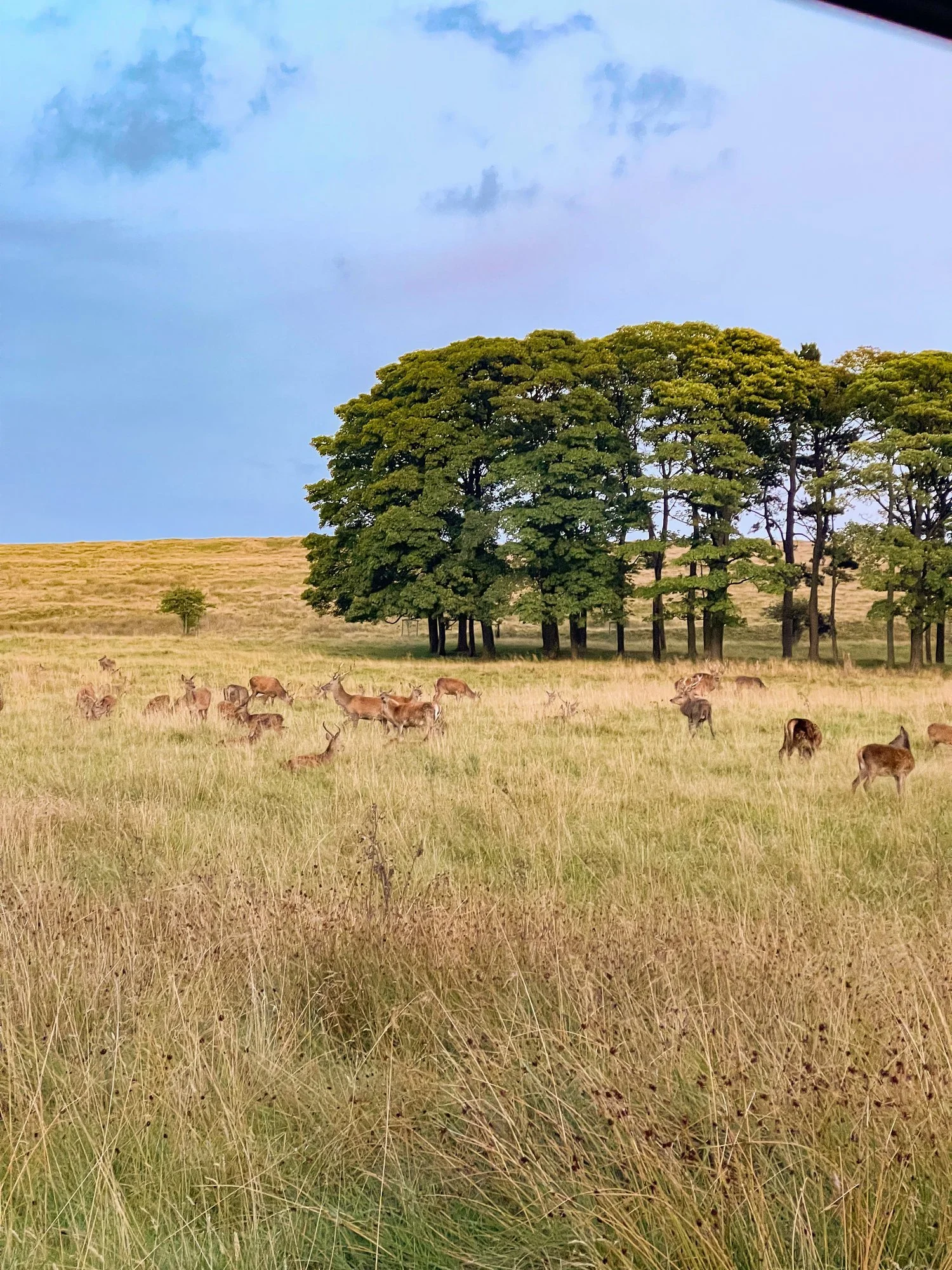
The Cage: As you leave Lyme Park, you'll pass by The Cage, a striking 18th-century hunting tower. Take a moment to admire the architecture and enjoy panoramic views of the surrounding countryside.
Bowstones: Continuing on your journey, you'll encounter the Bowstones – ancient standing stones that add a touch of mystique to the landscape. These stones have witnessed centuries of history and offer a great photo opportunity.
Sponds Hill: Finally, you'll reach the summit of Sponds Hill. The panoramic views from here are nothing short of spectacular, making the walk well worth the effort. Don't forget to bring your camera to capture the stunning vistas of the Cheshire Plain and beyond.
The Lantern: On your return, you’ll pass a deer leap in the wall, before arriving at another stile. Climb this stile and make your way along the path through the woodland. Eventually you will stumble across the Lantern (downhill on your left). Take some time to explore around the Lantern and take in the views down toward the house. Tradition has it that the top third of the Lantern used to be on the roof of the house where Minerva's statue now stands.
Transport Options:
Situated in Disley, Cheshire, Lyme Park is easily accessible by both car and public transport. If you're driving, ample parking is available on-site. For those relying on public transport, Disley train station is just a stone's throw away, providing a convenient option for those coming from Manchester or Stockport.
Fancy following along? Find full navigation details here
BRONTE WATERFALL WALK, HAWORTH
Take a trip back in time on this popular Howarth waterfall walk…
Start: Bronte Village, Haworth, BD22 8QN
Distance: 5 miles
Duration: approx. 2 hours
Elevation: 400 feet
Navigation: follow the route here
Lace up your walking shoes and let the echoes of Wuthering Heights guide the way as you explore the landscape that inspired some of the most iconic works in English literature.
Haworth
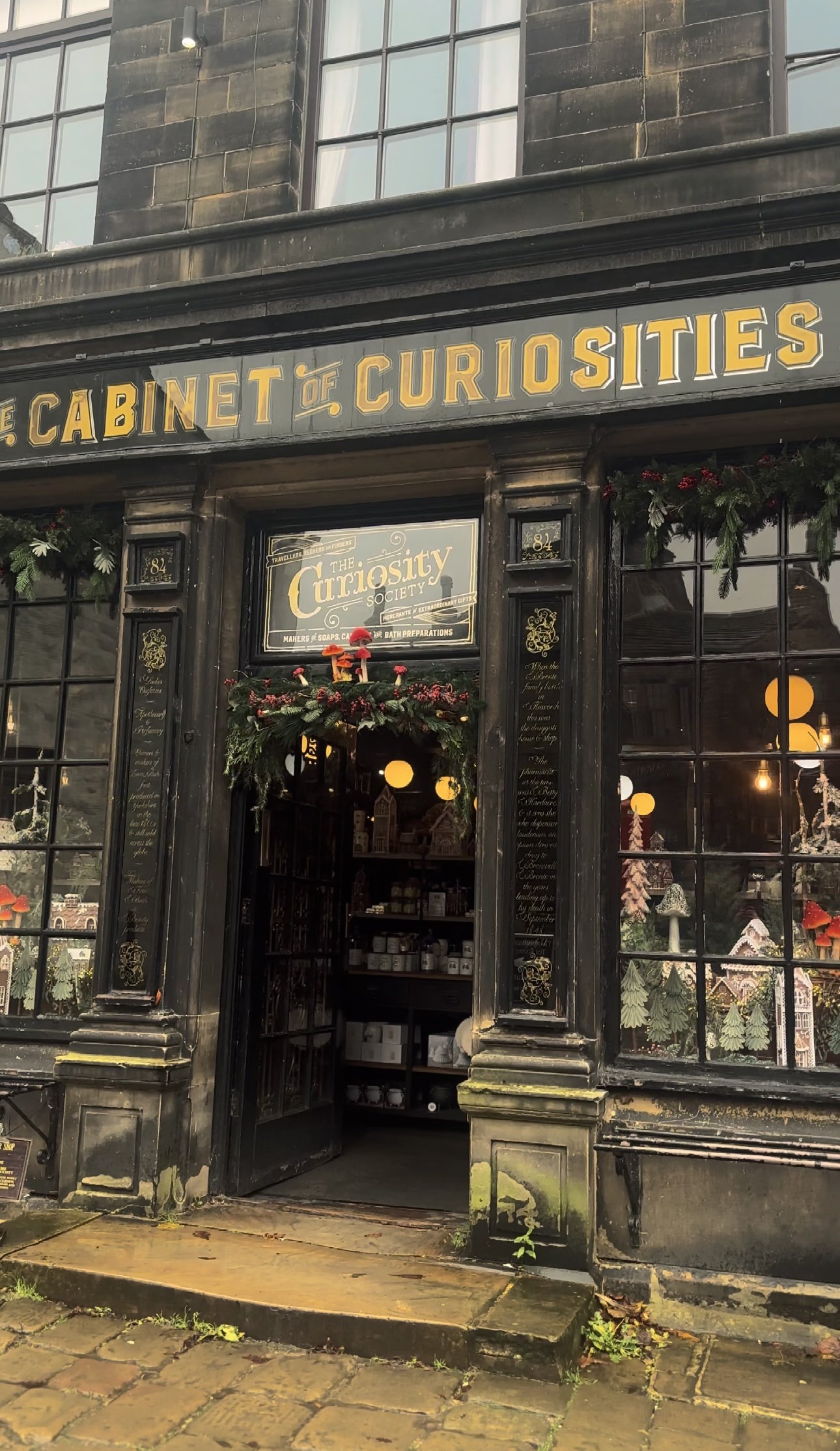
The village itself is home to many quaint tea rooms, souvenir shops and a few quirky pitstops you can’t afford to miss. Our favourite is The Cabinet of Curiosities, a traditional shop that’s been restored it to it's former glory as a Victorian druggists and apothecary shop.
Cabinet of Curiosities
The museum-like shop truly is like stepping foot in an old apothecary store, warmly lit by glass globes, fragranced with exotic oils, and packed from floor to ceiling with rich mahogany and glass display cases. Over the years the family-run business has taken on a true labour of love, salvaging many of the shops fittings from chemists, grocery shops and museums to replicate the ‘wonder-rooms’ of a time gone by.
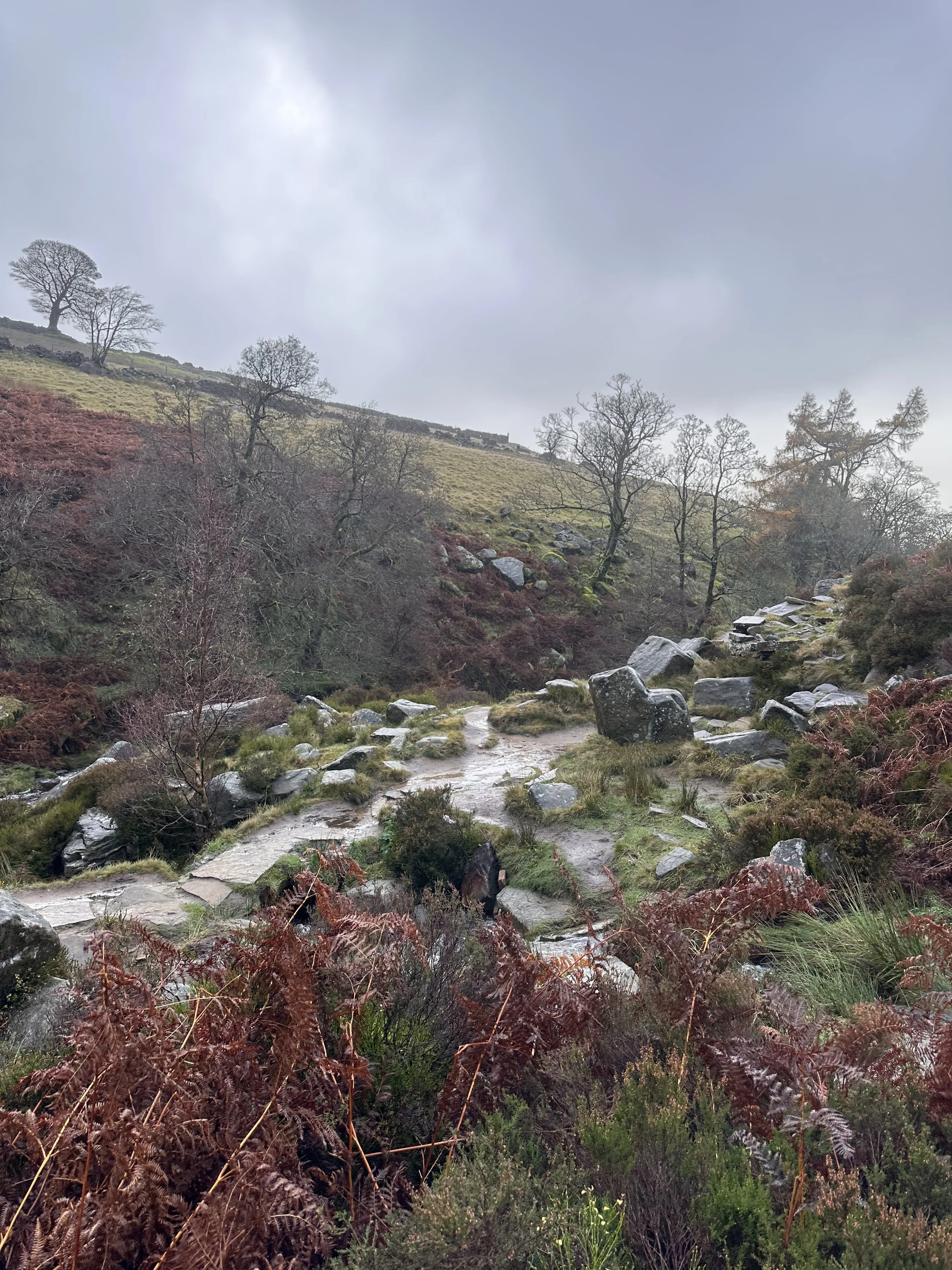
You could easily spend a full day here, but we were dying to check out Bronte Waterfall and Top Withens, a ruined farmhouse which is thought to be the inspiration for Heathcliff’s home in Wuthering Heights.
Bronte Waterfall and Top Withens
The Bronte Waterfall is a great place to rest on your way to Top Withens (Wuthering Heights), Alcomden Stones or Ponden Kirk (The Fairy Cave). Top Withens (also known as Top Withins) is a ruined farmhouse near which is said to have been the inspiration for the location of the Earnshaw family house in Wuthering Heights.
Originally known as ‘Top of th'Withens’, Top Withens is thought to have been built in the second half of the 16th century by George Bentley. At the time of the Brontës, it was inhabited by Jonas Sunderland and his wife Ann Crabtree (from 1811) and then their son, Jonas, with Mary Feather (from 1833). It was last inhabited by Ernest Roddy in 1926.
On 18 May 1893, Top Withens was struck by lightning during a thunderstorm. Holes were made in the wall, the roof was partially torn off, flags were cracked, and around 30 windows were almost completely removed. Today, it attracts literary fans from across the globe, each wanting to take a peek at Heathcliff’s house.
Nature, literature, and history truly converge in this short walk, inviting you to experience the setting that inspired some of the most enduring works in English literature. Let the words of the Brontës echo in the Yorkshire winds—here, among the moors and waterfalls, the stories truly come alive.
Fancy giving this one a go? Follow the route here
MACCLESFIELD FOREST WALK
An enchanting woodland walk perfect for the colder months…
Start: Trentabank Visitor Centre, Macclesfield, SK11 0NS
Distance: 3.66 miles
Elevation: 600 feet
Duration: 1.5 hours
Navigation: follow step-by-step here
Macclesfield Forest
Now a working forest managed by United Utilities, Macclesfield Forest is the last remnant of the Royal Forest of Macclesfield. This forest isn’t just a bunch of trees; it’s a living history book. Keep an eye out for remnants of the old mining and quarrying days as you wander your way through this woodland wonderland.
The start of this walk takes you through Macclesfield Forest, which is home to the native broad-leaved tree, but mostly contains pine trees. Lately, work has been ongoing to fell sections of the forest to replant the broad-leaved tree, to retain its natural heritage.
Shuttingsloe
Nicknamed the ‘Matterhorn of Cheshire’ due to its uncannily similar shape of one of Switzerland’s most recognisable landmarks, this is a great starter trig if you have four-legged pals or little legs in tow. Thanks to its impressive 360-views, this is a short loop with big rewards — you can see as far as The Roaches, Shining Tor (the highest hill in Cheshire), Macclesfield, and even across to Wales on a clear day.
Good-to-knows
Parking: Pay and Pay and display parking at Trentabank Car Park. Charges are £4.75 all day at the car park and the machine ONLY takes coins. There is no card payment option and the authorities are very strict on issuing fines, so make sure you have coins with you. If you are visiting on a quiet day, there is FREE roadside parking just past the entrance to the car park. Please only park in designated parking spaces.
Walk Highlights: Incredible 360 degree views, Shutlingsloe Trig Point, Macclesfield Forest.
Facilities: There are toilets at Trentabank Car Park. Please note that these are locked at 6pm. On busy days, there is a refreshments van in the car park.
Public Transport: Manchester Piccadilly > Macclesfield, 20 mins. From here catch a bus or walk to the starting point.
Fancy giving this one a go? Follow along here
COMBS RESERVOIR AND ECCLES PIKE WALK
Short walk, big views — fancy a Sunday stroll that starts and ends in a country pub? Look no further…
Start: The Hanging Gate, Chapel, SK23 9UH
Distance: 3.81 miles
Duration: 1.5 hours
Elevation: 400 feet
Navigation: follow our route here
The Essentials
Combs Reservoir and Eccles Pike Overview
Starting and ending at cosy country pub, The Hanging Gate, this short loop is perfect for stretching the legs on a crisp autumn’s day. The walk takes you around the serene Combs Reservoir before climbing slightly to the summit of Eccles Pike for breahtaking panoramas of the surrounding countryside.
Trail Highlights
Comb Reservoir
Combs Reservoir was originally designed to feed a canal in the Peak District National Park. While there are lots of routes nearby to choose from, there are two main Combs Reservoir walks that you’ll want to give a go. Hint: this one is our favourite!
Eccles Pike
Eccles Pike is steeped in history, with remnants of an Iron Age hillfort, making this short loop not only visually stunning, but you can get your history fix while you’re at it. On a clear day, you can see as far as our beloved Manchester.
Chapel-en-le-Frith
This historic market town offers a delightful contrast to the natural beauty you'll encounter. It's worth exploring its charming streets and grabbing a coffee or a meal before or after your hike.
The Hanging Gate
Famed for their ability to seasonally decorate like nobody’s business, this High Peak pub is a real must-visit on any Peak District wish list.
Transportation Options from Manchester
By Train:
One of the most convenient ways to reach Chapel-en-le-Frith from Manchester is by train. The journey takes approximately 30 minutes from Manchester Piccadilly to Chapel-en-le-Frith train station. From the station, it's a short walk to The Hanging Gate pub, where your adventure begins.
By Car:
If you prefer to drive, it's about a 30-mile journey from central Manchester to Chapel-en-le-Frith. The journey takes roughly 45 minutes by car.
Fancy following along? Find step-by-step directions here
SCAMMONDEN WATER WALK
Short on time but want to get your Sunday steps in? Then take a trip to this idyllic reservoir just off the M62…
Start: Scammonden Water Car Park, HX6 4LD
Distance: 3.4 miles
Duration: 1 hour
Elevation: 250 feet
Navigation: follow the route here
Tucked away in the foothills of West Yorkshire, Scammonden Water offers a peaceful escape from the hustle and bustle of city life. This stunning little spot is surrounded by some of Yorkshire’s finest landscapes, and with the route itself clocking up just 3 miles, it’s the perfect place for a leisurely walk.
Looking for a quieter but more adventurous walk? Head up to Deanhead Reservoir where the surrounds are spectacular and the views plentiful.
Good-to-knows:
Parking: Free parking at Scammonden Reservoir car park, HX6 4LD
Transport: For those needing to use public transport, you can take a train from Manchester to Huddersfield then transfer to a local bus service. There is a bus stop on Saddleworth Road/Church Lane which is 0.8 miles from the Western side of the reservoir. Check train and bus schedules for the most up-to-date information.
Extend the route: Why not walk along the Standedge Trail or head to nearby Marsden Moor? Both locations are perfect for a full day’s adventure.
Places to eat: Peaks, canals, valleys, reservoirs… and plenty of places to rest your legs — Marsden has it all. Stop off at the nearby village and explore a wealth of outdoor delights and a rich industrial heritage.
Fancy giving this one a go? Follow our route step-by-step here
THE TRINNACLE: DOVE STONE LOOP
Fancy spending the weekend climbing Saddleworth’s most-snapped landmark? Then a scramble up The Trinnacle is a must…
Start: Binn Green Car Park, Oldham, OL3 7NN
Distance: 4.13 miles
Elevation: 950 feet
Duration: less than 2 hours
Navigation: follow along here
Fed up of the same old flat walking routes around the same old area?
Well, it turns out you don’t have to travel too far out of town to be transported to another world entirely…
Our route round Yeomen Hey Reservoir and up to The Trinnacle will have you feeling like you’re in a Canadian National Park, much less the outskirts of Ashton.
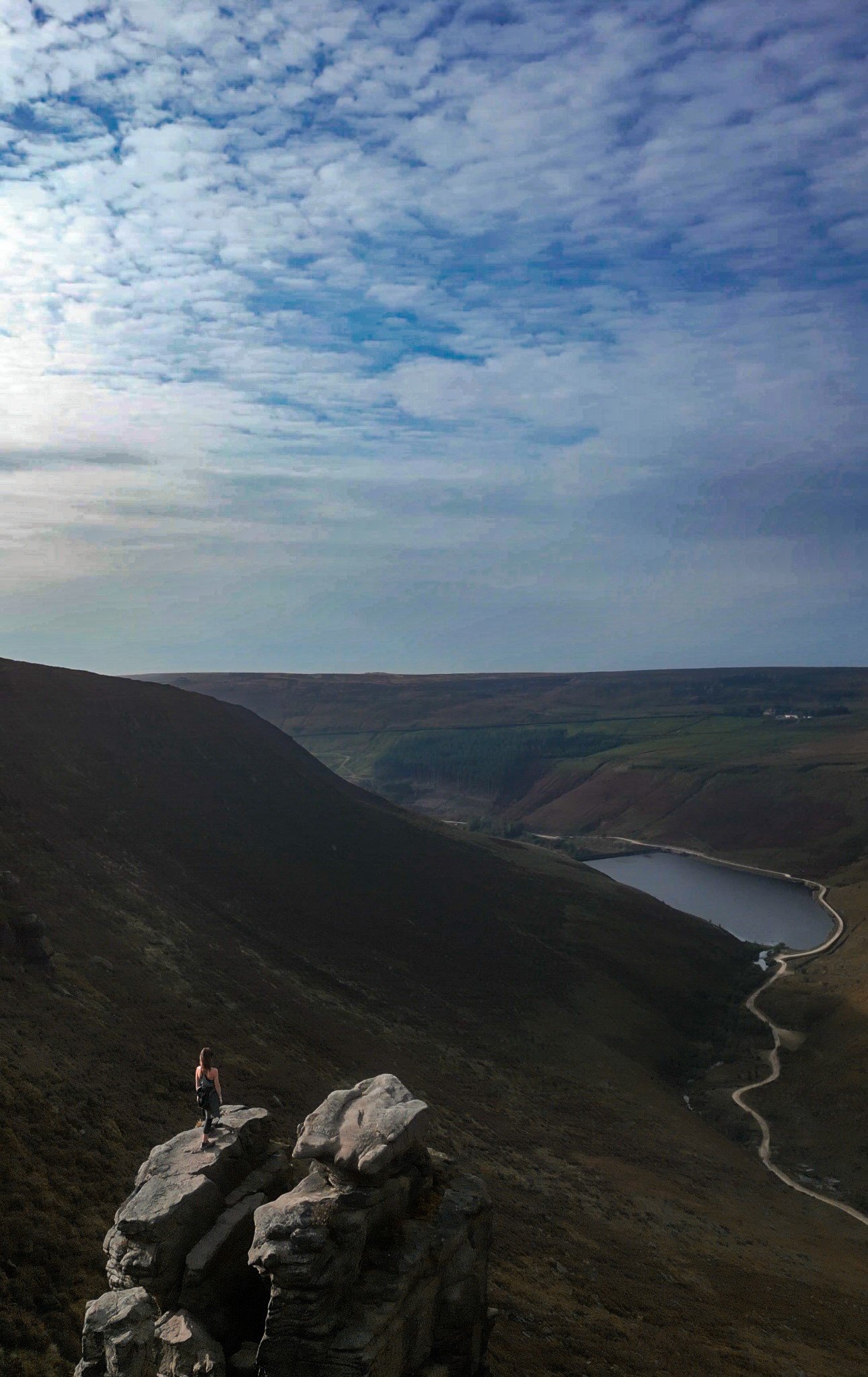
Located high on the hills of Saddleworth Moor, there stands a peculiar rock formation which has well and truly gripped the attention of ramblers far and wide.
Best known as ‘The Trinnacle’, this fork-shaped pillar juts out from the moorlands above Dovestone Reservoir and has attracted the attention of many keen photo opportunists as of late.
Made up of dazzling reservoirs, epic waterfalls, jaw-dropping scenery and steep inclines - alongside a couple of exhilirating scrambles along the river edge - this route really has it all.
Good-to-knows
Parking: Binn Green Car Park (RSPB). Please note, the spaces are limited and fill up quickly. We advise visiting off-peak where possible.
Public Transport: Catch the train to Greenfield Station. This extends the walk by about 50 mins each way.
Amenities: You’ll find an ice cream van and coffee truck at the base of Dove Stone Reservoir, with public toilets in the car park adjacent.
The Trinnacle: While this landmark certainly makes for a great photo opp, please only attempt scrambling if you are confident to do so. Make sure to take great care and only climb if the weather allows for it. The drop at the rear side is certainly no joke.
Fun fact: as we were climbing this one, a passerby shouted “I can’t watch! Make her get down!”, so make sure you have a head for heights whether you’re spectating or tackling it yourself.
Kit: Boots are ESSENTIAL for this one. The route is comprised of steep, slippery, boggy and rocky terrain. White trainer victims: be warned. (We certainly saw a few en-route!).
Take layers. It was a glorious day when we visited but remember where you are… layers are always a good idea.
Refreshments: Due to the idyllic Greenfield location, you’ll have your pick of pubs on this one. We recommend stopping off at The Roaches Lock, just a short drive away from the starting point.
Extending the route: Follow our extended 6 mile version here.
Fancy giving this one ago? Follow along here
SNAKE WOODLANDS LOOP
As magical Peak District walks go, Snake Woodlands is at the top of the list…
Start: Hope Woodland Car Park, S33 0AB
Distance: 3.59 miles
Duration: 1-2 hours
Elevation: 400 feet
Navigation: follow the route here
Easily missable as you drive along Snake’s Pass (A57), this magical wonderland is hidden from view until you venture down into the woodland adjacent.
This stunning pine forest landscape will have you feeling like you’re in the depths of a Canadian national park, much less on the outskirts of Glossop…
Surrounded by rolling hills, pine trees and babbling streams, you won’t be short on fairytale-like scenery on this short circular walk. In fact, this route has a mix of everything: magical woodlands, eerie moorland and even some spooky ruins to boot.
This route in itself is an absolute gem — but if you’re looking to get a few extra miles in, popular Peak District landmarks Higher Shelf Stones and the B52 Crash Site can easily be incorporated. You can follow our Crash Site walk here,
Due limited parking spaces, we advise going off-peak when you can. The good news is, you’ll usually have the place to yourself due to its hard-to-reach location.
Ready to be transported to your very own fairytale? Follow the route here
WINTER HILL AND RIVINGTON PIKE CIRCULAR
Enjoy this short ascent up to two iconic Lancashire landmarks
Start: Rivington Hall Car Park, Bolton, BL6 7SD
Distance: 6.15 miles
Duration: 2-3 hours
Elevation: 1,300 feet
Navigation: follow our route here
This Lancashire walk takes you to two incredible viewpoints in one route. You begin your ascent up to Winter Hill via Rivington Country Park, taking you 1,496 feet high up to the summit.
While there are a variety of routes to choose from, our favourite is this 6 mile walk which takes in arguable the best views and scenery across Bolton, Wigan and the West Pennines Moors.
After a brisk hike from Rivington Pike you'll soon approach Winter Hill, which reaches an elevation of 1,496 feet. The views from here are nothing short of breathtaking, especially during the winter months when the landscape is adorned with a pristine layer of snow. The panoramic vista extends as far as the eye can see, with the city of Manchester on one side and the rolling hills of Lancashire on the other.
What is Winter Hill?
After reaching the almost dystopian summit of Winter Hill, you may be left thinking “what on earth is this place?”. I know we certainly were.
While the reality of Winter Hill is a little less glamorous than my imagination led me to believe, the transmitting station is a working broadcasting and telecommunications site and is responsible for bringing you all your favourite local TV channels.
Rivington
Just over the border between Greater Manchester and Lancashire, Rivington is a magical landscape where mysterious ruins are nestled between magnificent reservoirs, moor tops and woodland aplenty.
It’s a place that’s packed with wholesome things to do, whether that’s exploring Rivington Terraced Gardens or going on an aerial adventure at Go Ape. The area is so stunning it was even dubbed "the Little Lake District” by the Victorians.
good-to-knows
amenities
The pike snack shack
You’ll pass this quaint little coffee shop at the base of Rivington Pike, offering a selection of hot and cold beverages and snacks.
Location: Rivington Pike Cottage, Horwich, Bolton, BL6 6RU
The Tea Room at Rivington
For a delightful cup of tea and some light bites, visit "The Tea Room at Rivington," nestled in a picturesque spot near Rivington Hall Barn.
Location: Rivington Hall Barn, Rivington Lane, Rivington, Bolton, BL6 7SB
The Rivington PUB and grill
Before or after your hike, stop by "The Rivington," a charming pub near Rivington Pike known for its cosy atmosphere and hearty fare.
Location: Rivington Lane, Horwich, Bolton, BL6 7SB
GO APE
Located close to Bolton and only 30-minutes from Manchester, Go Ape Rivington features exhilarating 13-metre-high platforms, beautiful country views and a zip wire over the reservoir.
Location: Great House Barn, Rivington, Horwich, BL6 7SB
Parking Options
Rivington Pike Car Park
Location: Rivington Pike Car Park, Rivington Lane, Horwich, Bolton, BL6 7SB
Public Transport
If you prefer or require to travel via public transport, you can reach Rivington Pike and Winter Hill by bus or train:
Bus:
The 125 and 575 bus routes have stops near Rivington Pike.
Check the latest bus schedules and routes to plan your journey.
Train:
Take a train to Horwich Parkway station.
From there, you can catch a bus or even walk to Rivington Pike.
Fancy giving it a go? Follow our route here
SK WOODLAND TOUR
A trail so idyllic it’s hard to believe you’re a literal stone’s throw away from the M60…
Start: Woodbank Park, SK1 4JR
Distance: 4 miles
Duration: 1.5 hours
Elevation: 225 feet
Navigation: follow the route here
Having lived in Greater Manchester most of our lives, it always amazes us when we stumble across new-found territory just a stone’s throw away from our old stomping grounds. This route that links up to Midshires Way and Alan Newton Way is one of them!
Named after Stockport’s Olympic medal-winning cyclist, The Alan Newton Way provides a safe off-road route from Marple to Stockport via the Goyt Valley and towards the town centre.
Expect quiet, old farm lanes, a forgotten hall and a wonderful little detour back through the Woodbank’s woodland. We stopped off at Chadkirk for a quick refuel and a wander around Marple Garden Centre. Starting the route from this end means you’ll be able to have a pitstop at Pear Mill’s Vintage Emporium - a must-visit for anyone yet to have a nosey.
To extend the route, you can follow the Way to Etherow Country Park, or join up with the Middlewood Way at Chadkirk.
For us, the highlight came in discovering Goyt Hall Farm, one of Stockport’s many small halls… but due to its remote location, one of the prettiest. This Grade II listed half timbered mansion-house was built around the same time as the popular Bramall Hall. Today, it’s a working farm and stables surrounded by gorgeous bluebell-dotted woods and fields.
CHEE DALE STEPPING STONES WALK
An easy circular walk in the Peak District, taking you to a beautiful gorge and stepping stones…
Start: Miller’s Dale Car Park, SK17 8SN
Distance: 5 miles
Duration: Approx. 2 hours
Elevation: 525 feet
Navigation: follow our route here
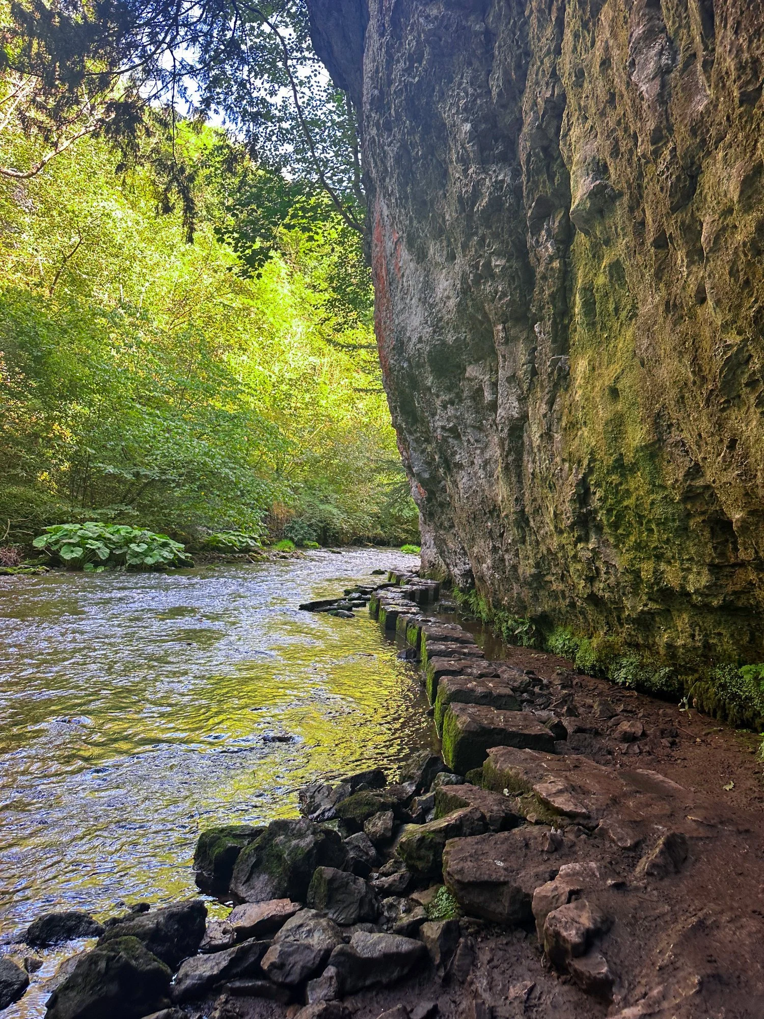
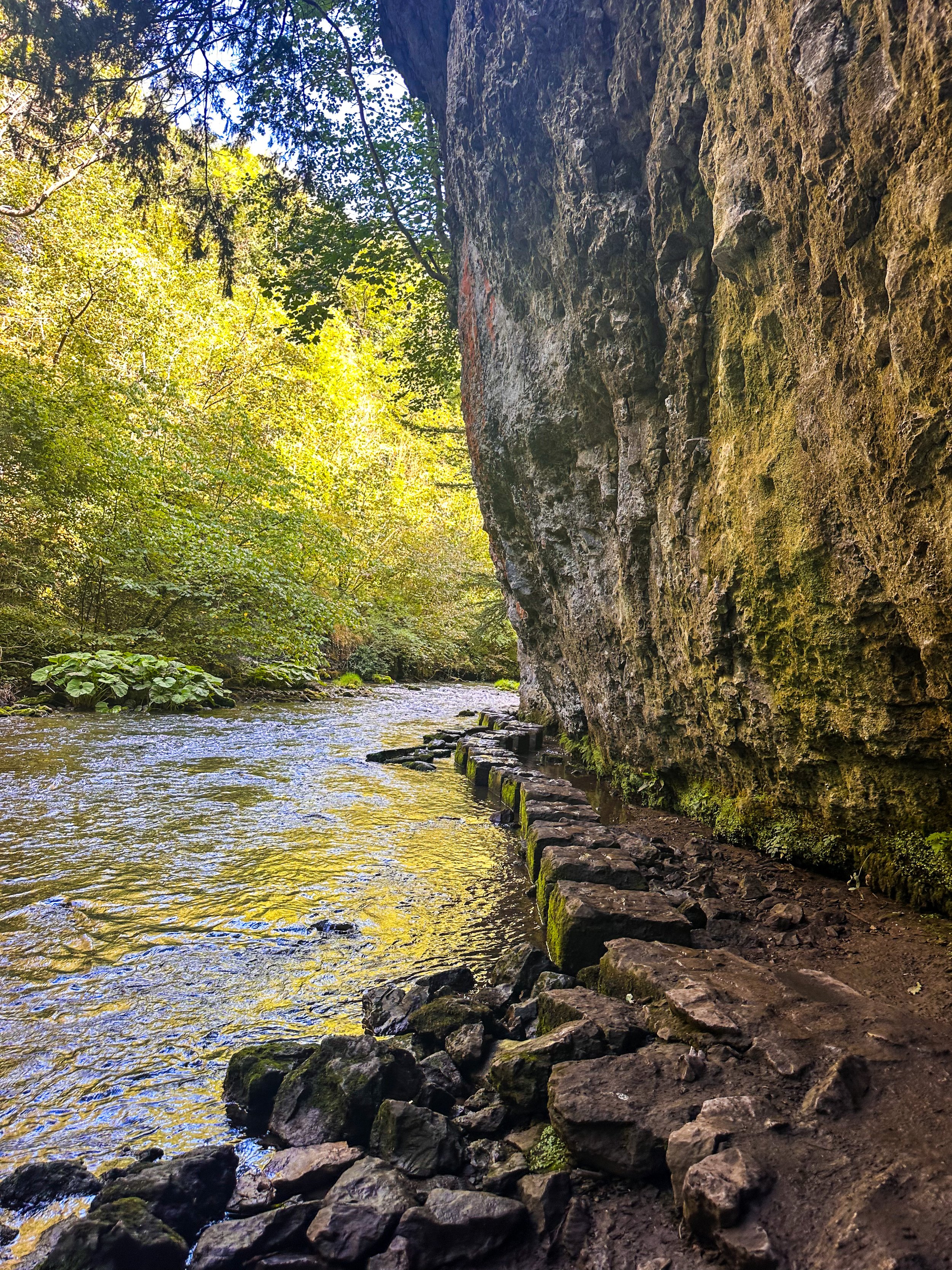
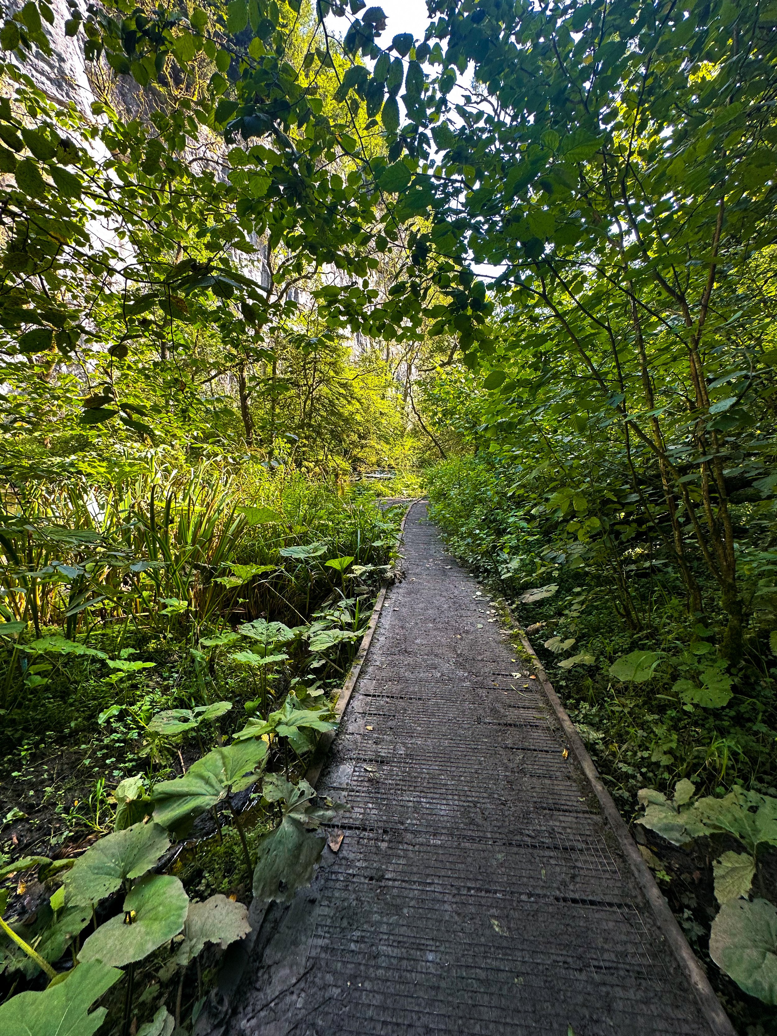
Tucked away beneath the Monsal Trail is the peaceful nature reserve of Chee Dale, where the River Wye meanders through a deep limestone gorge, providing two sets of stepping stones across the river. This route features as one of our Top 10 Walks in the Peak District, and with good reason!
Our Chee Dale Stepping Stones walk starts from Millers Dale Car Park and leads you down into a verdant gorge where you’ll cross two sets of atmospheric stepping stones along the limestone walls, before climbing back up to the Monsal Trail.
This is a slippy route on even the best of weather days, so walking boots definitely required for this one.
While the Dovedale usually takes the Peak District steppingstone limelight, lesser-known Chee Dale makes for a great off-road adventure if you want to beat the crowds.
The stepping stones and surrounding nature reserve – which lie beneath an overhanging cliff of limestone along the River Wye – are truly a must-visit Peak District attraction. So much so, this was our fourth (and certainly not last) visit…
About Chee Dale | Route Good-to-Knows
Made up of a 200ft deep limestone gorge, Chee Dale is filled with woodland, an abundance of wildlife, with the River Wye meandering through.
This walk is a 5mile circular route, first taking you through Chee Dale and along the famous stepping stones, before heading back up to the Monsal Trail and finally making your ascent through the nearby fields, with marvellous views down into the valley.
Miller’s Dale Carpark costs: £5 for the day
If the carpark is full, you can find alternative parking at a large layby just off the A6, on the west side of Chee Dale which offers free parking (Search ‘Chee Dale Layby’ on Google maps).
Public Transport: Make your way to Buxton (either via train or bus), then hop on the number 65 bus, which goes through Miller’s Dale between Tideswell, Linton and Buxton.
Facilities: You’ll find toilets and cafe at Miller’s Dale. Towards the end of the walk at Beech Croft Farm, you will also find Daisies coffee shop.
Fancy giving this one a go? Follow our route here
LUD’S CHURCH VIA THREE SHIRE HEADS WALK
Always fancied venturing to Lud’s Church? Why not tick off two Wonders of the Peak in one day with a visit to Three Shires Head and go for a dip while you’re at it?
Start: Gradbach Car Park, SK17 0SU
Distance: 6.65 miles
Duration: 2-3 hours
Elevation: 900 feet
Navigation: follow our route here
Three Shires Head is where the counties of Derbyshire, Cheshire and Staffordshire meet at a waterfall and collection of pools on the River Dane. It’s a stunning spot, and perfect if you love a wild dip! Even on a cloudy day, it’s a firm favourite Peak District wild swimming location — making the ideal base for a picnic and paddle.
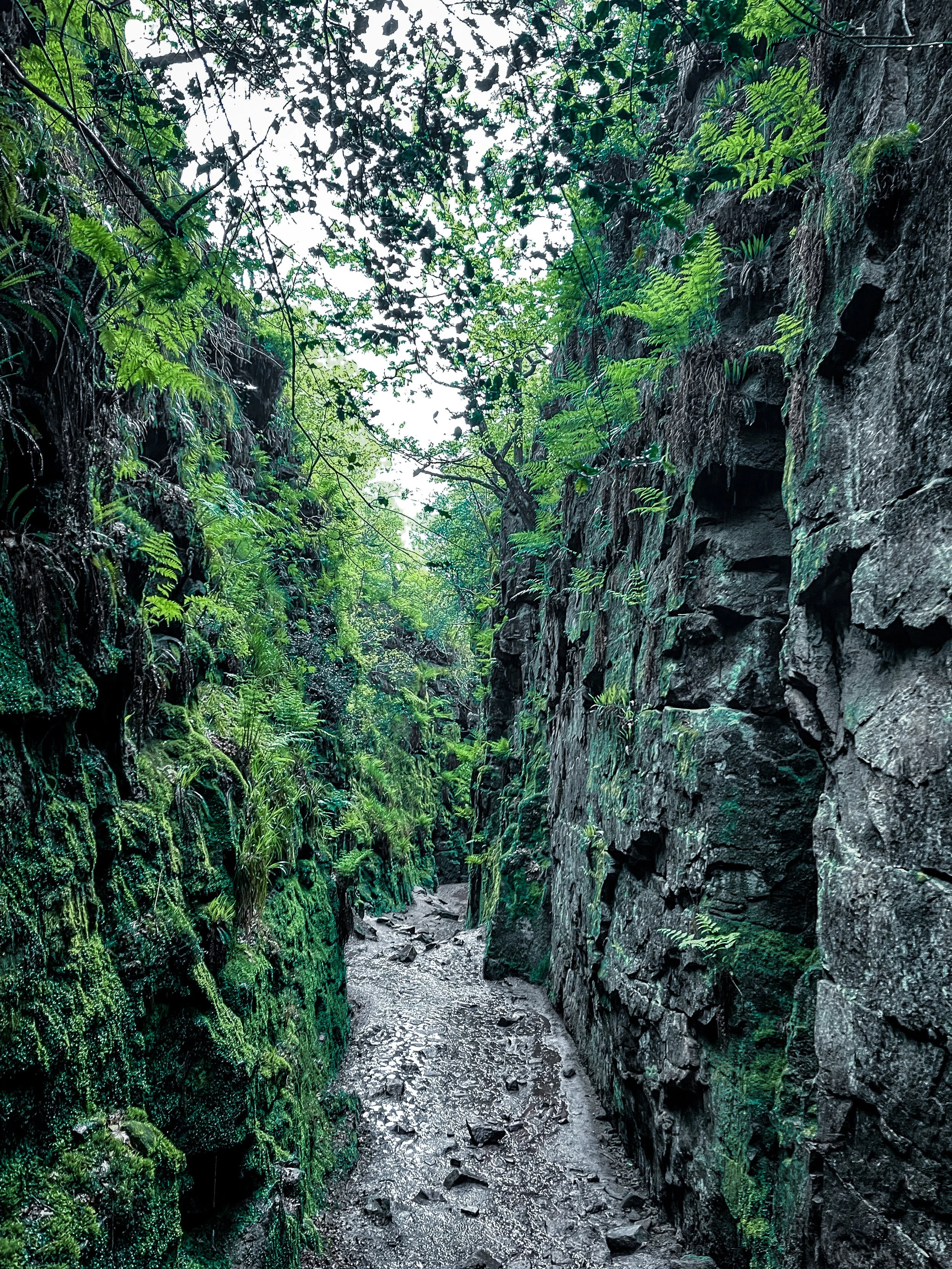
Lud’s Church itself is one the Peak District’s must-see landmarks, and from the moment you step foot into its surrounds, we’re sure you’ll understand why. Pictures definitely don’t do this place justice, so a trip to Lud’s is a must!
The ravine that makes up Lud’s Church is thought to have formed during the post-glacial period —some 11,000 years ago— by a large slip of Roaches Grit: a coarse form of sandstone.
It wasn’t until the 15th century that this place became a popular place to dwell— among a secret community, at least. A group of religious dissenters called the Lollards flocked here to hold covert religious meetings to escape the prosecution of the Catholic Church. It’s thought the name of a man arrested at one of these meetings, Walter de Ludank, inspired the name of the site.
Today, the area provides a dramatic nature walk through the Black Forest, transporting passers-by into old England and its many forgotten tales. You certainly don’t have to stretch your imagination too much to picture this place as the origin of many myths and mysteries.
Over the centuries, its’s been associated with tales of Robin Hood and his Merry Men, who’re thought to have hid here as a place of refuge.
Our route starts in Gradbach, first taking you up a forgiving ascent up to Three Shires Head. Once here, make the most of the opportunity for a pitstop — whether you fancy a wild dip or a quick refuel. From here, we return along the River Dane back towards Gradbach, where you can stop off at The Cafe at Gradbach. The cafe sells everything from sweet treats and coffees, to even a prosecco and a pint! Can’t find a better pitstop around, if you ask us.
From the cafe, we begin a short climb up to, what some may deem, the main event: Lud’s Church. This mystical chasm is shrouded in history and myth at every turn — we’ve visited a handful of times and it never fails to take our breath away!
With such a variety of landscapes in a relatively short walk, this is definitely one of our favourite walks in the North West. It’s a cracking walk and takes in multiple picturesque parts of this beautiful area. And if you fancy making a proper day of it, why not take a trip to The Roaches following our extended route here?
Fancy following along? Find step-by-step navigation here
CHADKIRK LOOP
Just a short detour off the A6 in Stockport lies one of Greater Manchester’s best leisurely walks…
Start: Chadkirk Chapel, SK6 3LB
Distance: 6.29 miles
Duration: allow approx. 2 hours
Navigation: follow our GPS route
If you’re local to the area, you’ll know that this isn’t exactly a walk in the country - but it is it’s only little patch of countryside haven amidst Stockport’s urban landscape. The flat, accessible paths around Chadkirk Chapel make it great for those with four-legged pals and kids in tow, while the walk up to the canal makes for a great alternative if you’re looking to extend the walk and get some extra steps in.
Around the estate, you can relax in the peacefulness of the grounds surrounding the chapel and learn more about its history. If you’re following our route, you can bask in the picturesque woodland as you head up to the Peak Forest Canal before stopping to refuel at Dobbie’s on the home stretch.
Chadkirk was once an ancient settlement dating back to the 15th century, and a quick walk around the grounds will have you feeling like you’ve been transported to a different time.
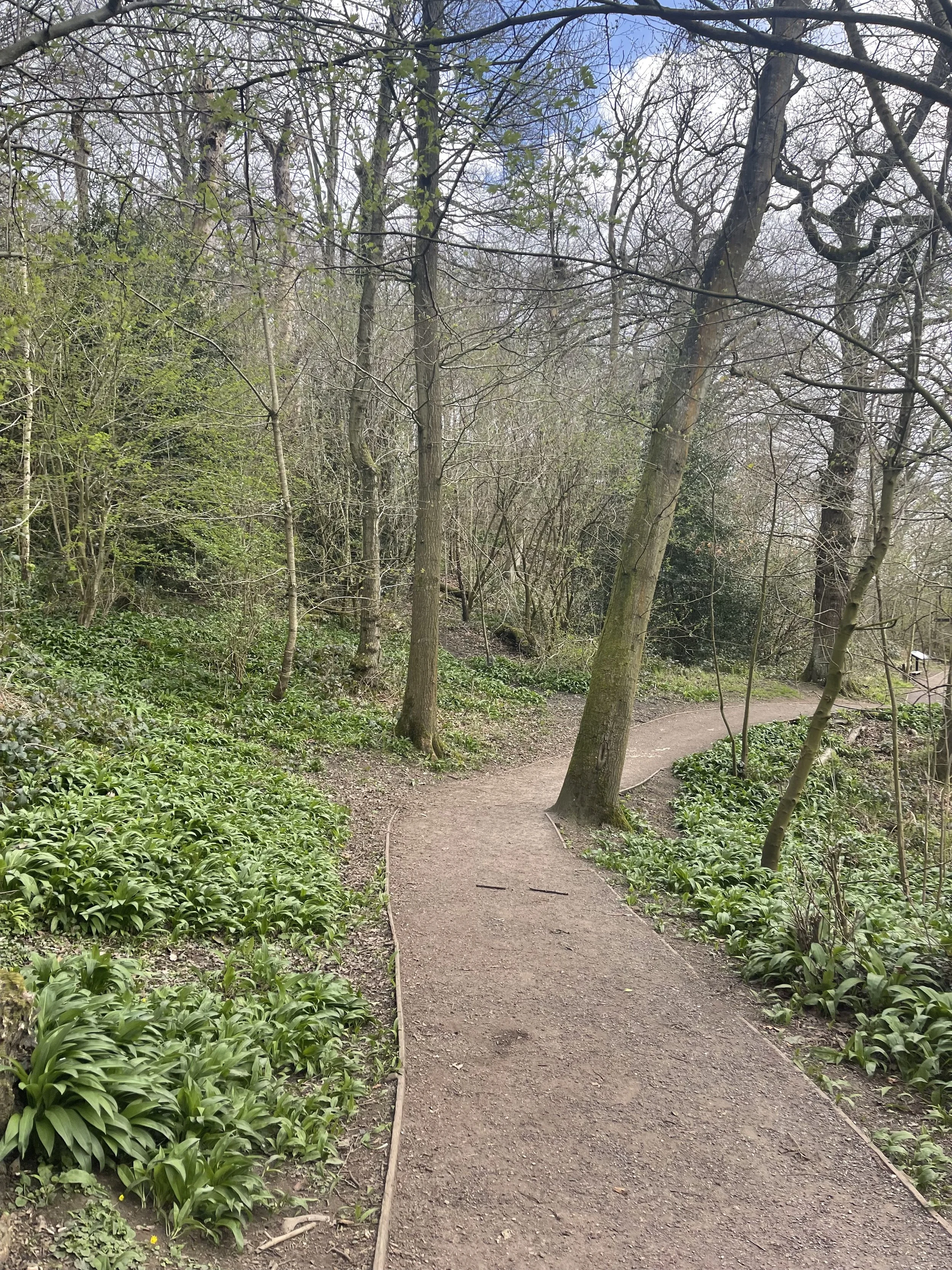
As you venture up towards the Peak Forest Canal, you’ll find a blanket of wild garlic across the woodland floor. The leaves are edible and can be cooked for a mild garlic flavour. If you feel like giving foraging a go, why not check out our wild garlic pesto recipe?
To see the wild garlic in bloom, April or May is the best time to visit.
Happy exploring!
UPHILL CHALLENGES:
WALKS WITH WATERFALLS:


