THIS WEEK’S FEATURED WALKS:


ALL TRAILS

PENDLE HILL: A CHARMING WALK FROM WHEATLEY
Witch way to Pendle? Take our enchanting route up to Pendle Hill and walk where witches once roamed…
Start: Wheatley Lane, Lancashire (we parked in a roadside bay)
Distance: 6.73 miles
Elevation: 1,600 feet
Duration: approx. 3 hours
Navigation: follow our route here

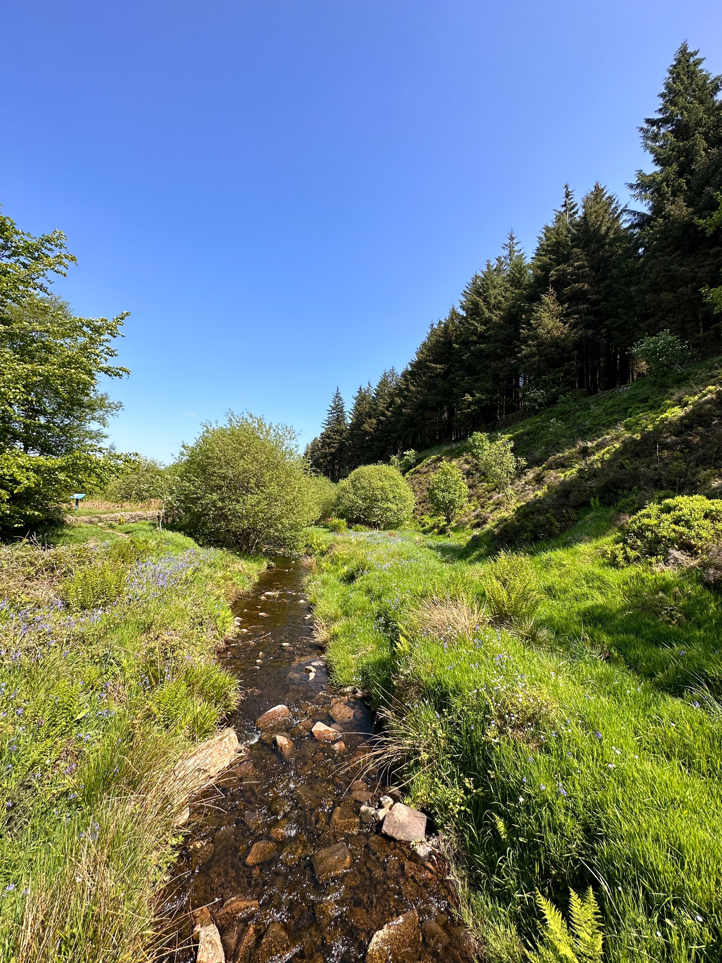
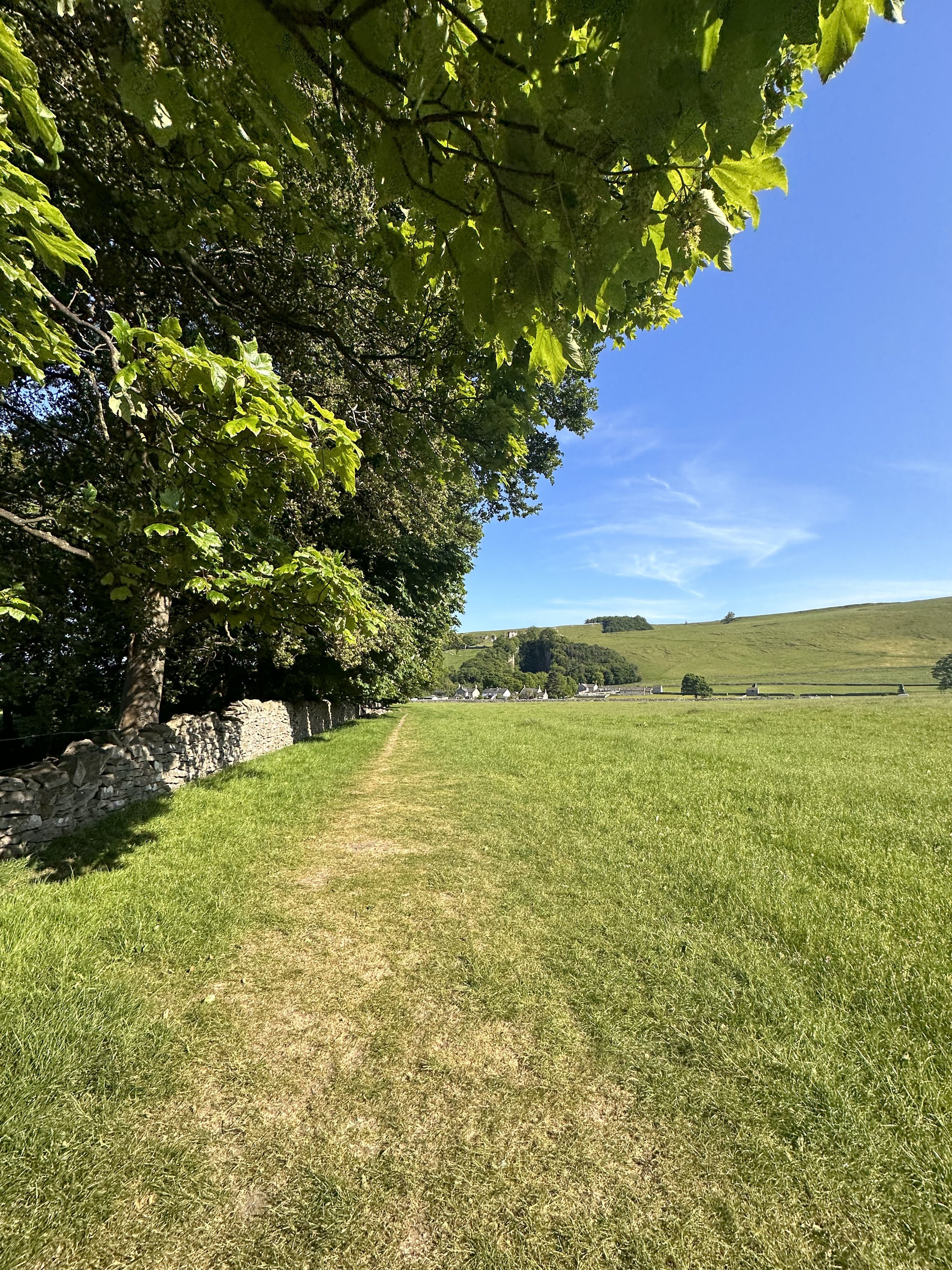
Lancashire is full of beautiful walks but one of our favourites is this route that takes you up to Pendle Hill. Located in a small village called Barley, you could easily spend the day learning about it’s history and venturing up the hill to see the beautiful surroundings.
Pendle Hill is one of the area’s most impressive landmarks – you can see it for miles. It looks steep, and while it will have you huffing and puffing a little, the effort is 100% worth it! Known for its eerie history and ties to the infamous Pendle Witches, this trail promises a bewitching adventure, alongside some proper pub grub to ground you back to earth on your descent.
Ready to delve into the spooky legends, hike through hauntingly beautiful landscapes, and uncover the dark secrets that shroud this mystical destination?
Let’s dive in…

As you ascend from Wheatley Lane, the landscape transforms into the mesmerizing Forest of Bowland. This Area of Outstanding Natural Beauty offers a myriad of trails to explore, each revealing its own unique treasures. Stroll through ancient woodlands, breathe in the fresh scent of pine trees, and keep an eye out for native wildlife that calls this area home.
Pendle Hill
Pendle Hill is famous for a number of reasons. Not only is it an isolated extension of the Forest of Bowland Area of Outstanding Natural Beauty and amazing pendle walks, but it gained notoriety in the 17th century because of a group of witches that became infamous across the country. The Pendle witches, who were tried in nearby Lancaster, were part of the wider English witch trials which saw 500 people executed between the 15th and 18th centuries. The Pendle witches were so infamous in part because they made up a full ten of these executions. It’s believed that many were the cause of two feuding families, combined with a number involved actually believing their guilt.
Their legacy has remained throughout the area. The Pendle Hill is now known both for its beauty and its links to witchcraft. The area has two walks of note that take in both aspects of this, the Pendle Hill walk from Barley and the Pendle Hill witches walk.

This mysterious brooding landmark will forever be associated with the Pendle Witches, but the hill was also the subject of religious inspiration. In 1652 George Fox climbed Pendle Hill and had a vision on the hill which inspired him to found the Quaker movement. Its summit, known as "The Big End," is the site of a Bronze Age burial mound.
And at just 51 metres short of being considered a mountain, you can certainly get your cardio in on this route. In fact, Pendle Hill is the highest point in the Ribble Valley. Measuring 557 metres, the hill boasts spectacular views over the Lancashire countryside and across to Yorkshire. You can even see as far as Wales on a clear day! From the summit, take in the panoramic views that stretch across Lancashire, rewarding you for your efforts.
Points of interest:
The Cauldron: A Charming Pop-up Tea Room

Descend from Pendle Hill and follow the trail until you reach the delightful pop-up tea room known as The Cauldron. Nestled amidst the natural beauty of the countryside, this hidden gem offers a perfect spot to relax and refuel. Sip on a steaming cup of tea, indulge in homemade treats, and immerse yourself in the tranquil ambiance before continuing your journey.
Barley: Pubs, Pints, and Perfection
Finally, our walk leads us to the charming village of Barley, where good food and drink await. While you’re spoilt for choice with ‘proper’ pubs in this area, our favourite is The Barley Mow. This traditional pub serves up a delectable array of dishes, but their salt and pepper chips are a true highlight.
Options to extend the route:

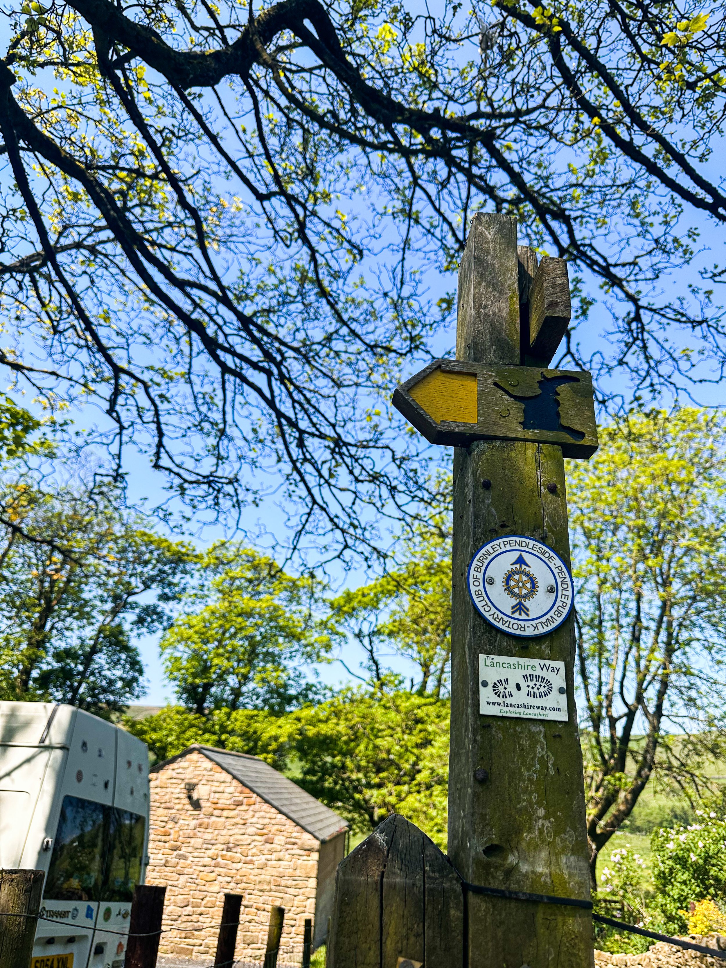
Pendle Hill is a highlight of the 45-mile Pendle Way – a circular walk which passes through the stunning Lancashire countryside, passing waterfalls, ancient churches and adorable villages. It’s also a feature of the 43-mile Bronte Way – another popular route which takes in lots of famous spots from the Brontë family’s life. So if you’re looking for a long distance trail to complete over a few days, this is a great spot to do it.

Fancy walking where witches once roamed? Follow our route here

WINNATS PASS AND ODIN MINE WALK
One of the best Peak District walks just a short drive from Manchester

Start: Castleton Visitor Centre, S33 8WN
Distance: 5.02 miles
Elevation: 900 feet
Duration: allow approx. 2 hours
Navigation: follow the route here

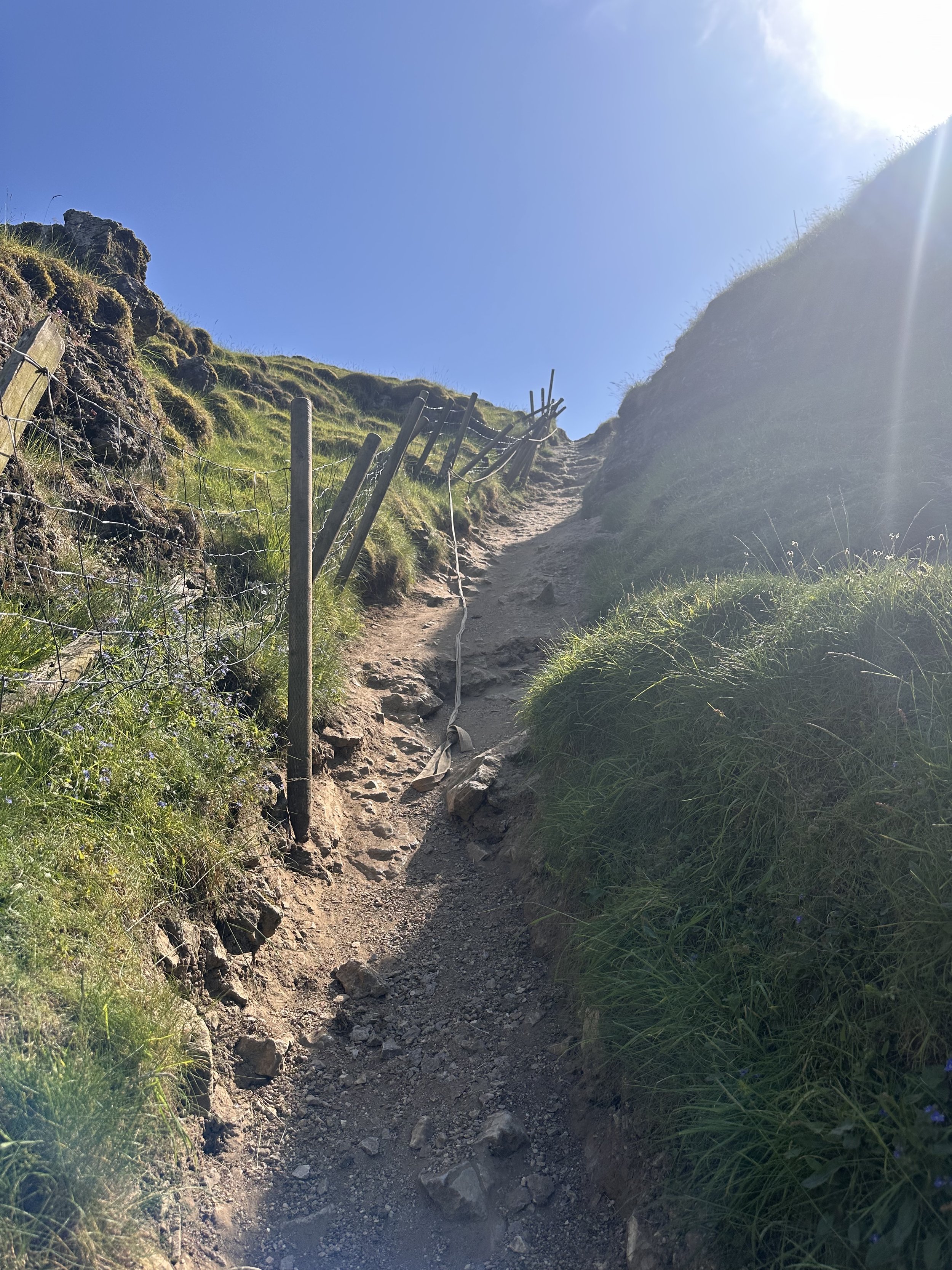
This walk takes you high above Winnats Pass and around Castleton, meaning you can take in this amazing Peak District village from all angles. The start of the route leans towards the challenging side, taking you up a steep and rocky path straight up to Winnats Pass, so consider if this one’s for you before heading out.

The first ascent is steep with scrambling required. Thankfully, a kind soul has left a climbers rope tied to a gate post which gives you all the leverage you need. We’ve been meaning to give this one a go for a while, and it didn’t disappoint.
The route starts near Castleton Visitor Centre where you’ll find a shop, cafe and toilets… among a gorgeous array of nearby pubs, eateries and cafes.
The car park is pay and display, but there’s street parking available nearby (be aware these fill up quickly during peak hours, so we recommend getting down early).

Once atop Winnats Pass, you’ll follow a trail that leads close to the boundary wall and takes you along the top of the pass. Be sure to stop and take in the views on this part of the walk, we were blown away watching the tiny cars winding their way through the Way.
From here, you’ll head along a footpath in the direction of Mam Tor, before taking a detour to Odin Mine: a disused mine thought to be in use since around 1260. The landscape surrounding makes for great exploring, leading you to the collapsed road constructed beneath Mam Tor.

Once you reach Treak Cliff Cavern, look out for signs that tell you about the history of the area. Winnats Pass and the surrounding environment was once under a tropical sea, making the site protected by law due to the many fossils of sea creatures which lived here over 350 million years ago.
The valley was created by melting glaciers which gradually dissolved, creating streams which flowed through and under cracks in the rock. One of these streams created a large underground cave system which eventually collapsed, leaving Winnats Pass you see today!

With so much to see in such a short walk, this is undoubtedly one of our favourite walks when visiting Derbyshire.
Fancy giving it a go? Follow the walk here

GIDDY EDGE WALK
Walk on the wild side along Matlock’s ‘Giddy Egde’

Take on a whirlwind adventure through the heart-stopping heights of Giddy Edge on High Tor in Matlock, while also indulging in the romance of Lover's Walk in Matlock Bath. Prepare to have your adrenaline pumping and your heartstrings tugged as we explore these two enchanting highlights in one route.

Start: Matlock Town Centre, DE4
Distance: 5.41 miles
Duration: 2.5 hours
Elevation: 1,175 feet
Navigation: follow the route here

Giddy Edge, High Tor

Giddy Edge… the name alone sends shivers down your spine! This exhilarating path is not for the faint of heart, but for the adventurous souls seeking an adrenaline rush — this one’s for you. As you walk along the narrow cliff edge, take in the awe-inspiring panoramic views of the Derbyshire Dales and don't forget to capture those Instagram-worthy moments!
Along the way, keep an eye out for the famed rock formations, including the legendary "Cromford Tooth." Rumor has it that touching it brings good luck, but be cautious, for superstitions and precipices don't always mix well!
Lover's Walk, Matlock Bath

Now that you've conquered Giddy Edge, it's time to shift gears and embrace the romantic ambiance of Lover's Walk in Matlock Bath. This picturesque riverside path, flanked by lush greenery, is perfect for lovebirds or anyone seeking a moment of tranquility. The charming Victorian-style lampposts transport you back in time… but if you’re after a post hike snack, the nearby Greggs should bring you back to 2023 in no time.
Attractions not to miss during your visit:
Heights of Abraham
After your adrenaline-fuelled adventure along Giddy Edge, make your way to the Heights of Abraham. This unique hilltop park offers cable car rides that will sweep you up into the clouds, providing breathtaking views of the surrounding countryside. It's a perfect opportunity to catch your breath and marvel at the beauty of Matlock below.
Matlock Bath Aquarium
For those fascinated by marine life, a visit to the Matlock Bath Aquarium is a must. Immerse yourself in the captivating world beneath the waves and explore an array of exotic species. From vibrant tropical fish to mesmerizing jellyfish, this aquatic adventure will leave you in awe.
The Fishpond Pub
Walking can make even the hardiest adventurer thirsty, so be sure to stop by The Fishpond Pub. Nestled in the heart of Matlock Bath, this charming establishment serves up a delightful selection of local ales, craft beers, and refreshing beverages. Unwind in their cosy beer garden or warm up by the crackling fireplace on colder days. Cheers to a well-deserved break!

Ready to brave Giddy Egde? Follow the route here

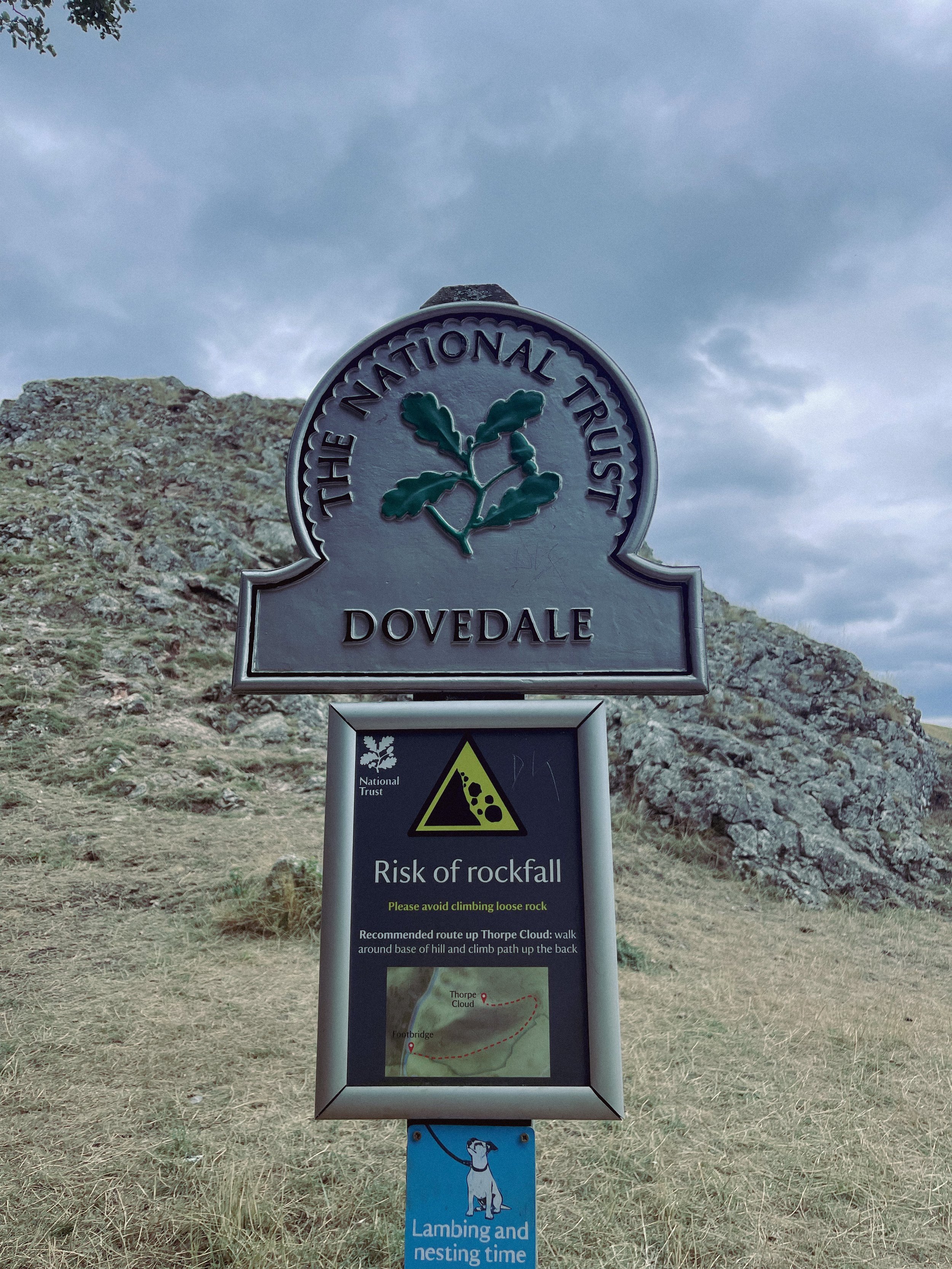
THORPE CLOUD
Gothic manors… idyllic tearooms… and a trig point to boot — this walk in Ashbourne has it all

Start: Blore Pastures Carpark, DE6 2BS
Distance: 5.49 miles
Duration: 2.5 hours
Elevation: 1,000 feet
Navigation: follow the route here

Whether you’re here for the stepping stones across the River Manifold, or fancy indulging in the history of this quaint town’s old manor house, a day trip to Ilam Park is always a good idea.
After a meander around Ilam Hall, our route takes you up Thorpe Cloud as you summit the hill for breathtaking views across the dale, and return home via the stepping stones across the River Dove.

Thorpe Cloud is found in the White Peaks on the southern end of Dovedale — a gorgeous limestone hill that attracts thousands of visitors each year thanks to its unique shape and close proximity to Dovedale Stepping Stones.
The route up to the summit is easy-to-follow, navigated by blue markers on signposts. With some steep parts that’re a good challenge for beginners, the walk is short and sweet with plenty of options to extend if you’re feeling particularly energetic.
The Stepping Stones are a very popular Peak District attraction, so if you’re wanting to explore free from pedestrian traffic, we’d definitely recommend visiting off-peak if that’s an option for you.
That said, they’re a must-do Peak activity… and well worth the visit!

Grab yer hiking boots and follow one of our favourite Peak District walks here

KERRIDGE HILL LOOP
Discover the beauty of Cheshire from up above with one of the best walks near Greater Manchester

Start: Pool Bank Car Park (Free Parking), SK10 5PS
Distance: 6.88 miles
Duration: 2-3 hours
Elevation: 1,000 feet
Navigation: follow the route here

Looking for a bit of history on your next trip outdoors? Look no further than this uphill hike around the Cheshire countryside. Not only does this walk provide excellent views that sweep right across the surrounding area, but you’ll also pass White Nancy fairly early on — a memorial site atop Kerridge Hill, built to commemorate the victory of coalition forces at the Battle of Waterloo.

With its comically shaped physique, White Nancy isn’t your typical historical landmark. Thanks to its lofty position, the site White Nancy sits on had been used as a warning beacon of invasion for centuries, featuring other small structures before Nancy took up residence.
In 1817, the Gaskell family of Ingersley Hall built the structure you see today, in belated commemoration of the victory at Waterloo, 1815. Originally, White Nancy had a door and was used as a summerhouse, but was soon sealed off due to vandalism over the early 20th century.

Whether you’re here for the views or the stories of yesteryear, you’re sure to be taken aback by the undisturbed peacefulness of this route. On a clear day, you can see as far as Snowdonia, Liverpool’s coastal line and the windmills off the Wirral peninsula.

After admiring the views surrounding White Nancy, walking across Kerridge Hill is a must. The route’s quite steep in parts — but the views? So worth it.
So if you’re after a walk that offers incredible views every way you turn, make sure you stop by and see our Nancy soon. With multiple footpaths, woods and fields to explore nearby, you can easily extend this route into a full date out.

Fancy stopping by to see Nancy soon? Follow the route here
UPHILL CHALLENGES:


WALKS WITH WATERFALLS:


