THIS WEEK’S FEATURED WALKS:
ALL TRAILS
The Eamont and Wordsworth Way: The ultimate car-free adventure in the Lake District
A multi-modal, point-to-point route from Penrith to Grasmere, blending riverside paths, lake cruises, and fell walks.
Start: Penrith Station
Distance: ~13 miles walking (22 miles covered, including the lake cruise)
Elevation: 1,975 feet
Duration: 5-8 hours
Difficulty: Moderate (with some changeable conditions)
Navigation: Follow step-by-step on komoot, or download GPX file
About the route
This adventure combines the Eamont Way and Wordsworth Way, with a scenic mid-point cruise on the Ullswater Steamer. Starting at Penrith Station, you'll follow riverside paths to Pooley Bridge, sail across Ullswater, and hike over Grisedale Tarn to Grasmere. It's a journey through rivers, lakes, and fells—all in one, point-to-point route.
I took the train from Manchester, but Penrith is also easily reached from London, Edinburgh, Preston, and Liverpool.
📊 Quick stats
Distance: ~13 miles
Duration: 6–8 hours
Elevation gain: ~2,000 ft
Terrain: Mixed—riverside paths, gravel, fell tracks
Dog-friendly: Yes (with some rules)
Public transport: Direct trains to Penrith; buses from Grasmere via Keswick
Route difficulty
The Eamont Way is flat and beginner-friendly, while the Wordsworth Way involves a steady climb to Grisedale Tarn, with uneven sections and changeable weather.
Walk type: Easy to moderate
Terrain: Tarmac, grassy tracks, rocky paths
Accessibility: Not suitable for wheelchairs or pushchairs
Dog-friendly: Yes—leads required on farmland and during travel
Is this walk suitable for beginners?
Yes, if you’re reasonably fit. The Eamont Way is beginner-friendly, and the Wordsworth Way offers a moderate challenge.
Why you’ll love this walk
✅ A riverside start, a midway lake cruise, and a fell finish—all in one day
✅ Panoramic views from Grisedale Tarn (if the weather’s on your side)
✅ Poetic connections to Wordsworth and Grasmere's famous gingerbread (I always take bag loads home with me!)
✅ Dog-friendly travel options on boat and bus
✅ Easy public transport access
Route highlights
🚶 Penrith to Pooley Bridge (~6 miles)
Start at Penrith Station and follow the Eamont Way through meadows and past Brougham Castle, tracing the River Eamont. Enjoy the quiet before arriving in Pooley Bridge, a perfect stop with cafés and pubs.
⛴️ Pooley Bridge to Glenridding (Ullswater Steamer)
Cruise past Hallin Fell and Place Fell. Enjoy lake views, spot red squirrels, and relax mid-adventure.
Fare: £16.00 (adult one-way), £10.50 (child), £1.00 (dog)
Family ticket (2 adults + 2 children): £69.75
🥾 Glenridding to Grasmere (~8 miles)
Follow the Wordsworth Way, climbing gently through Grisedale Valley. Highlights include Helvellyn’s slopes, Grisedale Tarn, and the charming village of Grasmere with its literary history.
🐾 Dog-friendly travel tips
🛳️ Ullswater Steamer
Dogs are welcome for £1.00.
Must be kept on a short lead.
Not allowed on saloon seats or upper decks.
Water bowls available at pier houses.
🚌 Stagecoach 555 Bus
Dogs allowed at driver’s discretion, must be on a lead and well-behaved.
Guide and assistance dogs always welcome.
Things to do nearby / Options to extend the route
🏛️ Dove Cottage & Wordsworth Museum
🏔️ Helvellyn or St Sunday Crag for a bigger challenge
🚣♂️ Ullswater activities like kayaking or paddleboarding
🛍️ Keswick for shopping and lakeside cafés
🏨 Where to stay
If you’re making a weekend of it (and honestly, why wouldn’t you?), we stayed at The George Hotel in Penrith. It’s a stone’s throw from the station—literally a five-minute walk, which makes rolling out of bed and onto the Eamont Way trail almost too easy.
I stayed here the night after the walk, and it was a dream. Comfy beds, a bath, a hearty breakfast included (you’ll need the carbs for this one), and a touch of historic charm without being fussy.
If you’re coming from further afield, I recommend central as a good base to get a good night’s sleep before tackling the walk. No faffing with early trains or car parks, just a relaxed start to your adventure.
When’s the best time to go?
📅 May to October for longer days and better weather. Avoid peak summer weekends for quieter paths + lake cruises.
Getting to the starting point
The route starts in Penrith, and is well-connected by:
🚂 Direct trains from Manchester (~1h 40m), London (~3h), Edinburgh (~1h 30m), Preston (~50m), Liverpool (~1h 45m)
🚗 Parking at Penrith (Park & Ride available)
✔️ Good to knows
👟 Footwear: Hiking boots essential
☔ Weather: Pack layers and waterproofs (even in summer)
🧃 Refreshments: Limited options once you leave Glenridding (bring snacks!)
🚌 Return: Bus 555 from Grasmere to Keswick, then connect to Penrith
🐾 Dogs: Lead required in fields, permitted on boat and bus with some restrictions
🔗 Handy links
🧭 Following the route
I use komoot and OS Maps for offline navigation. To follow the full walk step-by-step on komoot, simply click this link here or download the GPX file and upload it to your chosen app, such as OS Maps.
SCENIC LAKE DISTRICT WALK: EXPLORE CLAIFE VIEWING STATION AND WINDERMERE WEST SHORE
Experience the best of the Lake District on this easygoing walk, featuring serene lakeside views, fascinating historic landmarks, and charming local cafés.
Start: Ash Landing Car Park, LA22 0LU
Distance: 3 miles
Elevation: 425 feet
Duration: 1 hour
Difficulty: Easy (with some moderate sections)
Navigation: Follow step-by-step on komoot, or download GPX file
About the route
Looking for a relaxing yet picturesque walk in the Lake District? This 3-mile circular route starts at Ash Landing Car Park near popular Lake District landmark, Claife Viewing Station, before leading you along Windermere’s serene west shore. You’ll enjoy peaceful lake views, historical landmarks, and even have the chance to stop at some lovely cafés along the way.
Perfect for a short morning or afternoon adventure, the walk is mostly flat with gentle inclines, making it ideal for families, couples, and solo walkers.
Route difficulty
Walk type: Easy with gentle elevation.
Terrain: Well-maintained gravel and woodland paths.
Accessibility: Some areas may be unsuitable for wheelchairs or pushchairs.
Dog-Friendly: Yes, but dogs should be on leads near wildlife and busy areas.
Route highlights
Claife Viewing Station
Perched on a hill above Lake Windermere, this historic viewing platform dates back to the 18th century. The station offers panoramic views of Windermere, with colourful stained-glass panels that recreate how Victorian tourists once experienced the scenery.
Windermere West Shore
This tranquil lakeside path is a peaceful alternative to the busier eastern side of Windermere. With frequent benches along the way, it’s the perfect spot to pause and enjoy the views.
Joey's Café
Located near the Claife Viewing Station, Joey's Café serves up delicious coffee and cakes. It’s a great option for a pre-walk breakfast or a mid-route break.
Ferry House
At the end of the west shore path, you'll find Ferry House, the starting point for the historic Windermere Ferry crossing. From here, you can either return along the shore or extend your walk.
Caife Café
After completing your walk, reward yourself with a stop at Caife Café, offering locally sourced treats and excellent lakeside views.
Options to extend the route
Want to make it a longer adventure? Continue walking along the west shore to Wray Castle, adding approximately 4 miles (return) to your route. The additional walk remains relatively flat and offers more fantastic lakeside views, as well as the opportunity to explore the castle's grounds.
Getting to the starting point
By Car
Park at Ash Landing Car Park (LA22 0LU), located near the Claife Viewing Station. Parking charges apply.
By Public Transport
Take a train to Windermere, then catch a bus or taxi to the ferry terminal. From there, ride the Windermere Ferry across the lake and begin your walk at Ferry House.
✔️ Good to knows
Difficulty: Easy, suitable for all levels.
Footwear: Comfortable walking shoes.
Dog-Friendly: Dogs are welcome but must be on a lead in certain areas.
Food & Drink: Joey's Café and Caife Café are both fantastic options for a pre or mid-walk refuel.
Facilities: Public toilets available at Claife Viewing Station and Ferry House.
🧭 Following the route
I use komoot and OS Maps for offline navigation. To follow the full walk step-by-step on komoot, simply click this link here or download the GPX file and upload it to your chosen app, such as OS Maps.
GLENRIDDING DODD AND SHEFFIELD PIKE, LAKE DISTRICT
This short and scenic Lake District hike offers stunning views of Ullswater and the surrounding fells, perfect for beginners or those seeking a manageable adventure.
Start: Glenridding Village
Distance: 4 miles out and back, with other routes available
Elevation: 1,700 feet
Duration: 2 hours
Difficulty: Easy-moderate with some steep sections
Navigation: Follow step-by-step on komoot, or download GPX file
About the route
If you’re new to hiking or simply looking for a gentler route with insane views, this hike up to Glenridding Dodd and Sheffield Pike offers beginner-friendly terrain, and the chance to tick off two Wainwrights in one short loop. It combines manageable elevation gains with stunning views over Ullswater and the surrounding fells.
The hike begins in Glenridding, a charming village on the shores of Ullswater. It offers an opportunity to summit two Wainwrights: Glenridding Dodd and Sheffield Pike. The shorter variation focuses on Glenridding Dodd, making it an excellent introduction to hiking in the Lake District, while the full loop adds Sheffield Pike for a slightly more challenging adventure.
Both routes reward you with sweeping views of Ullswater, the Helvellyn range, and the rolling fells, making it perfect for both first-time visitors and seasoned walkers looking for a shorter day out.
Route difficulty
Walk type: Beginner-friendly but includes some sustained uphill walking.
Parking: Find ample parking in Glenridding Village
Terrain: Clear paths with rocky sections, particularly on Sheffield Pike.
Best for: Beginners with moderate fitness or experienced walkers seeking a shorter route.
Route highlights
Glenridding Dodd
This compact Wainwright may be small in stature but delivers big on views. Sitting at an elevation of 1,450 feet, it provides incredible panoramas of Ullswater and the rolling fells beyond. It’s the perfect introduction for beginner hikers looking to summit their first Wainwright.
Sheffield Pike
If you’re wanting to push a little further, Sheffield Pike offers a rewarding ascent to 2,232 feet. With views of the Helvellyn Range and Birkhouse Moor, this fell combines moderate effort with stunning scenery, making it an achievable next step for beginners.
Options to extend the route
For a slightly more challenging route, add Birkhouse Moor or explore Glencoyne Bay for a longer adventure. Alternatively, consider descending via Seldom Seen Cottages, a charming historical detour.
Where is Glenridding Dodd?
Glenridding Dodd is located above the village of Glenridding in the Lake District National Park, Cumbria. Part of the Helvellyn range, it rises to 1,450 feet (442 meters) and is one of the smaller Wainwright fells, offering stunning views over Ullswater and the surrounding peaks. Its relatively short ascent makes it an ideal hike for beginners or anyone looking for a shorter, scenic outing.
Why it’s great for beginners
Short distance: The full hike is just 3.87 miles, while the shorter variation is only 2 miles.
Gradual climbs: The inclines are steady and forgiving, avoiding the steep and intimidating slopes of harder Lake District walks.
Clear trails: Well-trodden paths reduce the risk of losing your way.
Accessible starting point: Glenridding is a popular village with ample facilities and public transport links.
Longer route overview
Start in Glenridding: From the village, follow signposts pointing towards Glenridding Dodd. The initial stretch involves a gentle woodland climb.
Summit Glenridding Dodd: Enjoy the stunning views of Ullswater. For the shorter hike, retrace your steps back to Glenridding.
Continue to Sheffield Pike: For the longer hike, follow the trail toward Sheffield Pike. The path gradually climbs, offering a mix of grassy slopes and rocky terrain.
Descend back to Glenridding: Complete the loop by descending through scenic paths overlooking Glencoyne Bay.
Shorter route overview
Start at Glenridding: Begin your hike in the village, heading uphill following signs for Glenridding Dodd. The path starts behind the Glenridding Tourist Information Centre.
Ascend through the woodland: The initial section is a steady climb through a wooded area, with occasional openings offering views of Ullswater.
Reach the summit: After exiting the woodland, the trail becomes steeper but manageable. You’ll soon reach the summit of Glenridding Dodd, where stunning panoramic views await.
Return to Glenridding: Retrace your steps downhill to the village, enjoying a more relaxed descent.
For full navigation with komoot, click this link here.
Getting to the starting point
Arriving by car
Park at Glenridding Pier Car Park (CA11 0PD). Spaces fill up quickly, so arrive early. Charges apply for parking
Public transport
Glenridding is accessible via the 508 Ullswater Explorer bus from Penrith or Keswick, which connects with other major routes. Check timetables before you travel, especially in winter.
✔️ Good to knows
Dog friendly: Dogs are welcome but must be kept on leads near livestock.
Difficulty: Beginner-friendly but includes a steep segment.
Food and drink: Glenridding offers several cafes and pubs, including The Travellers Rest and Fellbites Café, perfect for post-hike treats.
Disclaimer: Always prioritise safety. Even beginner trails can become challenging in adverse conditions. Inform someone of your plans, and consider hiking in a group.
🧭 Following the route
I use komoot and OS Maps for offline navigation. To follow this walk step-by-step on komoot, simply click this link here or download the GPX file and upload it to your chosen app, such as OS Maps.
WARNSCALE BOTHY HIKE, LAKE DISTRICT
This gentler Lake District walk is perfect to save for your next sunset adventure
Start: Honister Slate Mine
Distance: 3 miles out and back, with other routes available
Elevation: 925 feet
Duration: 1-2 hours
Difficulty: Easy with gentle elevation gain
Navigation: Follow step-by-step on komoot, or download GPX file
About the route
If you're familiar with the Lake District, you’ve likely come across the famous view from Warnscale Bothy—a stunning glimpse over Buttermere Lake that’s perfect for catching a sunset. Warnscale is one of only a handful of bothies in the Lake District, making it a hidden gem for those seeking a quiet, off-the-grid retreat.
Nestled near the peaceful shores of Buttermere, the bothy offers more than just shelter; it rewards hikers with panoramic views and a front-row seat to some of the most breathtaking sunsets in the region. Whether you're stopping by for the day or spending a night, it’s an unmissable spot for any adventurer.
Route difficulty
Walk type: Easy out and back with some elevation gain
Parking: Honnister Slate mine or Gatesgarth
Walk highlights:
Warnscale Bothy, The ‘picture perfect’ window in the Lake District
Beautiful view over Buttermere and Crummock Water
Honister Slate Mine (optional adventure)
2x bothies you can stay in, for free!
Superb spot for sunset
Route highlights
Honister Slate Mine
If you visit for sunset, you have time to to get a bit of thrill seeking in at Honister before you head off and watch the sun dip behind the fells. Here, you have the chance to tackle the longest high-wire bridge in Europe, the Honister Infinity Bridge, which offers a thrilling walk high above the valley floor. For those seeking even more adventure, the Via Ferrata provides an exhilarating climbing experience along the cliffs, complete with stunning views of the Lake District’s breathtaking scenery. Afterward, you can join a guided tour of the mine to learn about its rich history and the slate extraction process.
Warnscale Bothy
Warnscale Bothy is one of those hidden gems that offers more than first meets the eye. Tucked away in the hills above Buttermere, the bothy itself might look a bit unassuming—a small, rugged stone shelter that blends into the landscape. But step inside, and you’re greeted with one of the most breathtaking views the Lake District has to offer. Through the perfectly framed window, you’ll see the expansive vista of Buttermere Lake and Crummock Water, stretching out across the valley. It’s an unbeatable spot for watching the sun dip below the horizon, casting golden hues over the water and surrounding peaks.
Staying at the bothy
The hike to Warnscale Bothy is equally rewarding, following a path that meanders alongside waterfalls and hidden pools. Though it requires a bit of effort to reach, the experience is well worth it, especially for those looking to escape the crowds and immerse themselves in nature. Spending a night here, with just the crackle of a fire and that iconic view, feels like stepping back in time—a simple, yet unforgettable adventure that leaves you longing for another visit. Be sure to pack extra snacks and a hot drink to enjoy while you watch the sunset—it’s one of those moments you’ll remember long after you’ve left.
Options to extend the route
You have the option to tag a few Wainwrights on to the hike too, and really make a day of it. Adding the haystacks onto the hike would make it a nice circular and a good day out in the fells.
Where is Warnscale Bothy?
Warnscale Bothy is nestled in the picturesque Lake District, specifically near the village of Buttermere in Cumbria, England. This charming bothy is one of only a handful of bothies in the region, offering stunning views over Buttermere Lake and Crummock Water. It’s situated on the slopes of Fleetwith Pike and is accessible via several hiking routes, with popular starting points being Gatesgarth or Honister Slate Mine. The bothy itself serves as a cosy spot for adventurers looking to rest, with basic amenities including a wood-burning stove and sleeping areas. It's a fantastic place to stay overnight and soak in the natural beauty of the surrounding fells.
Getting to the starting point
Arriving by car
This route starts from the National Trust car park, which is located behind the YHA Youth Hostel, just before reaching the Honister Slate Mine. It's free to members and to non-members, there is a small charge. Out of the two routes you can choose from, this route is the easiest, in terms of both a smaller ascent and also ease of finding the bothy.
Public transport
To reach Honister Slate Mine by public transport, you can take the 77 or 77A bus from Keswick, which operates during the summer season and travels through the scenic Honister Pass. This bus connects well with other routes, like the X4 and X5, allowing for easier access from surrounding towns.
✔️ Good to knows
Difficulty: This walk has gentle climbs for the first 1.5 miles, with some steep ascents and rocky paths.
Food and drink: You'll find the Honister Slate Mine café at the start of your journey, offering a range of food and drink options to fuel your hike. It’s a great spot to grab a bite before or after your adventure.
Parking: Parking is available at Honister Slate Mine, which serves as a convenient starting point for the hike to Warnscale Bothy. Parking is £5 all day, or free for Honister customers.
🧭 Following the route
I use komoot and OS Maps for offline navigation. To follow this walk step-by-step on komoot, simply click this link here or download the GPX file and upload it to your chosen app, such as OS Maps.
SCAFELL PIKE
Being high up in the mountains can be some of nature’s best therapy. So why not give England’s highest a go?
Start: Lake Head Carpark, Wasdale CA20 1EX
Distance: 7.7 miles
Elevation: 3,000 feet
Duration: allow 4 hours
Navigation: follow our route here
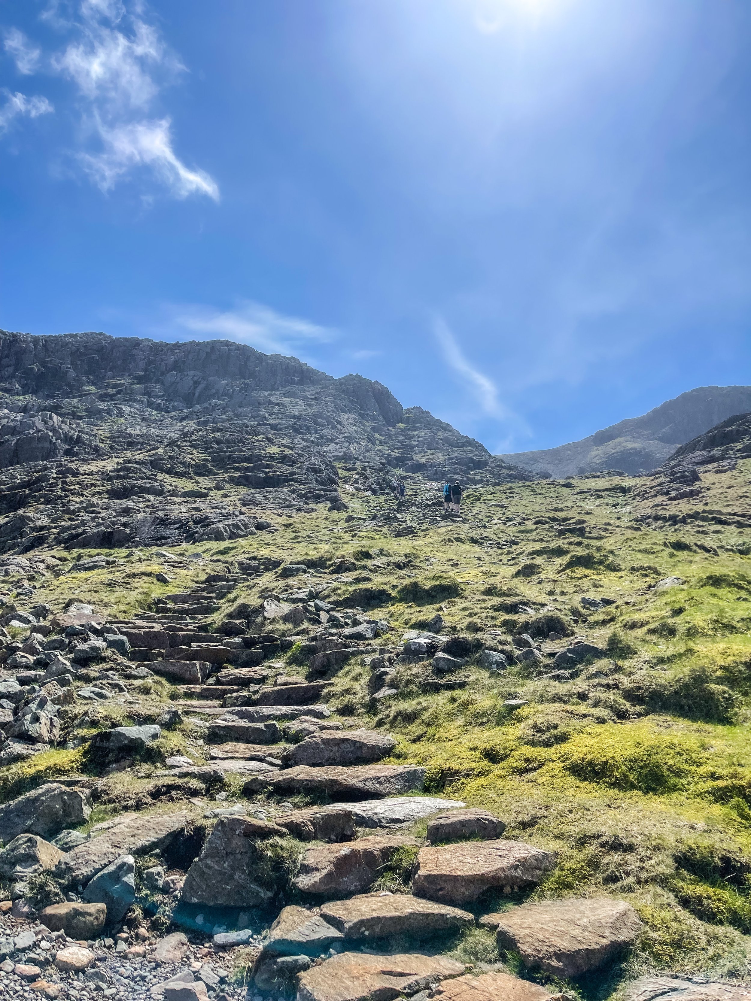
Standing at 978 metres, Scafell Pike is an absolute must for anyone looking to bag England’s biggest peak. Whichever route you take, climbing Scafell Pike is a serious undertaking and requires pre-planning to tackle it safely. That said, be sure to check the weather before you grab for your boots.
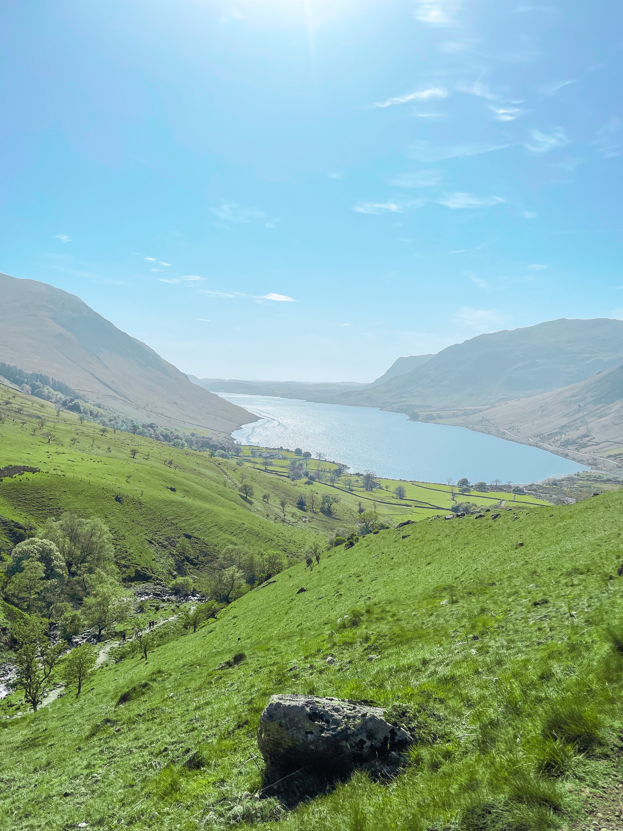
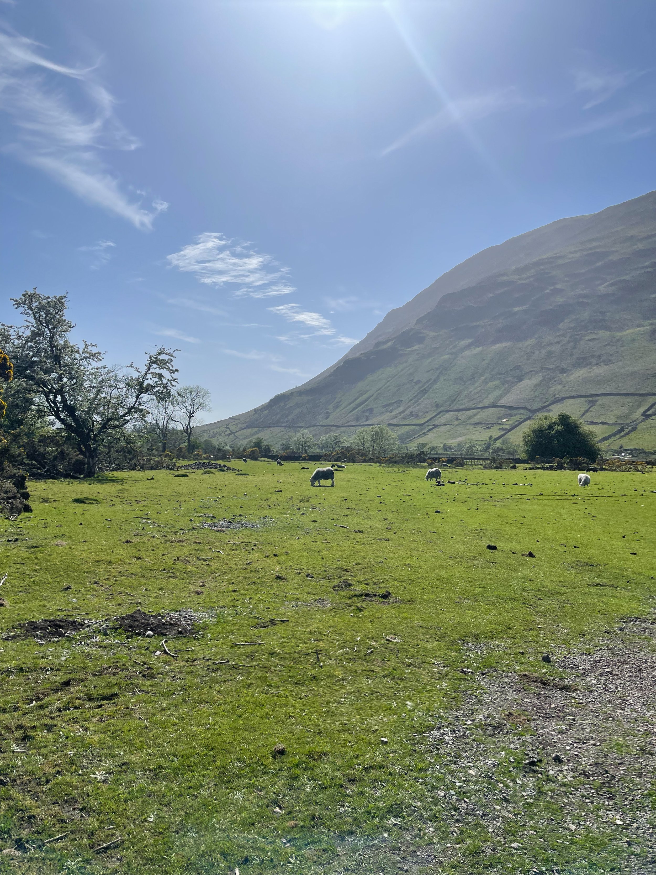
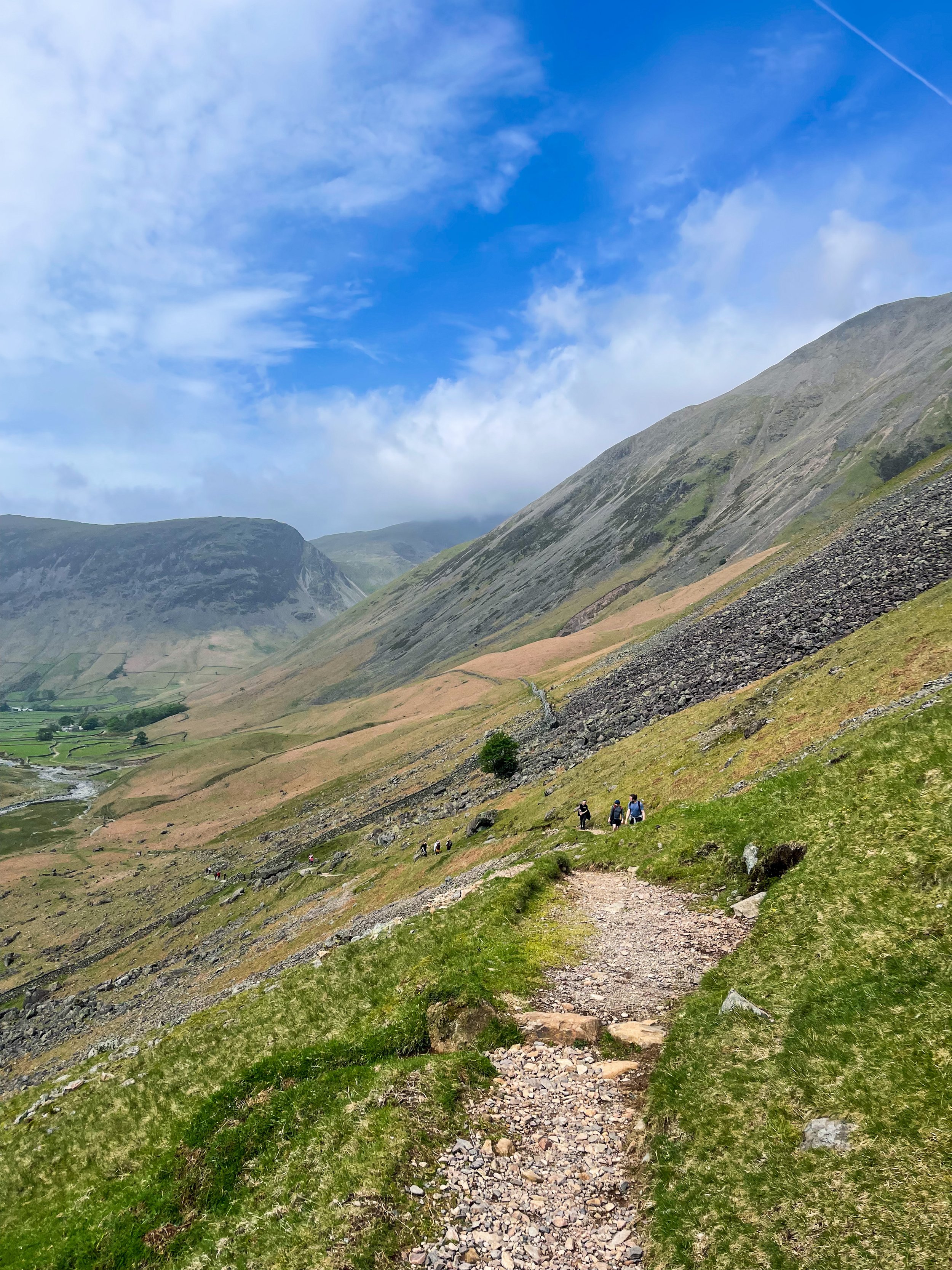
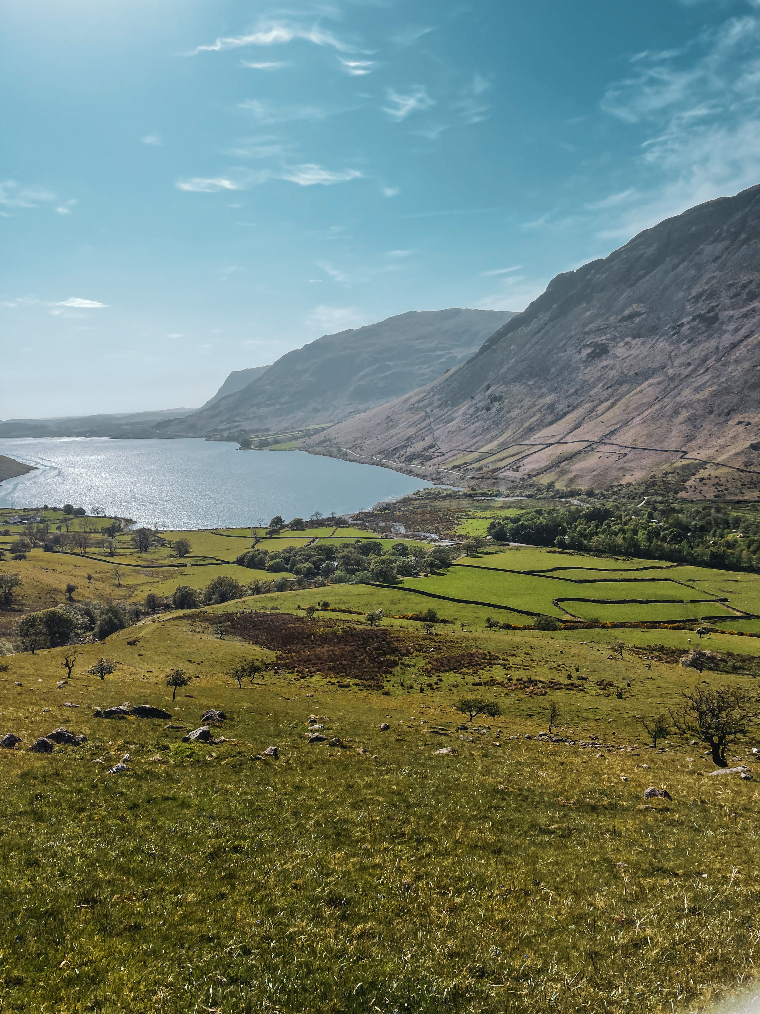
We started at Lake Head Car Park, Wasdale, a popular pay-and-display carpark so getting down early is advised. The remote and scenic valley surrounding offers an idyllic starting point. The main path up to the summit is advised for beginners, but if you’re up for more of a challenge, the corridor route offers a more scenic alternative.
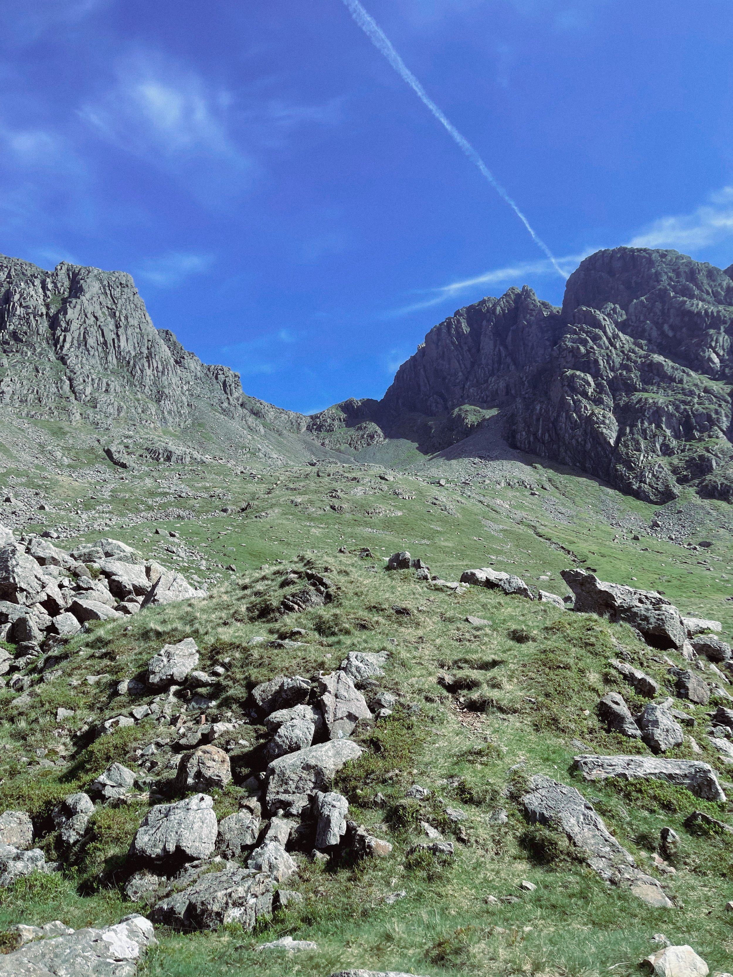
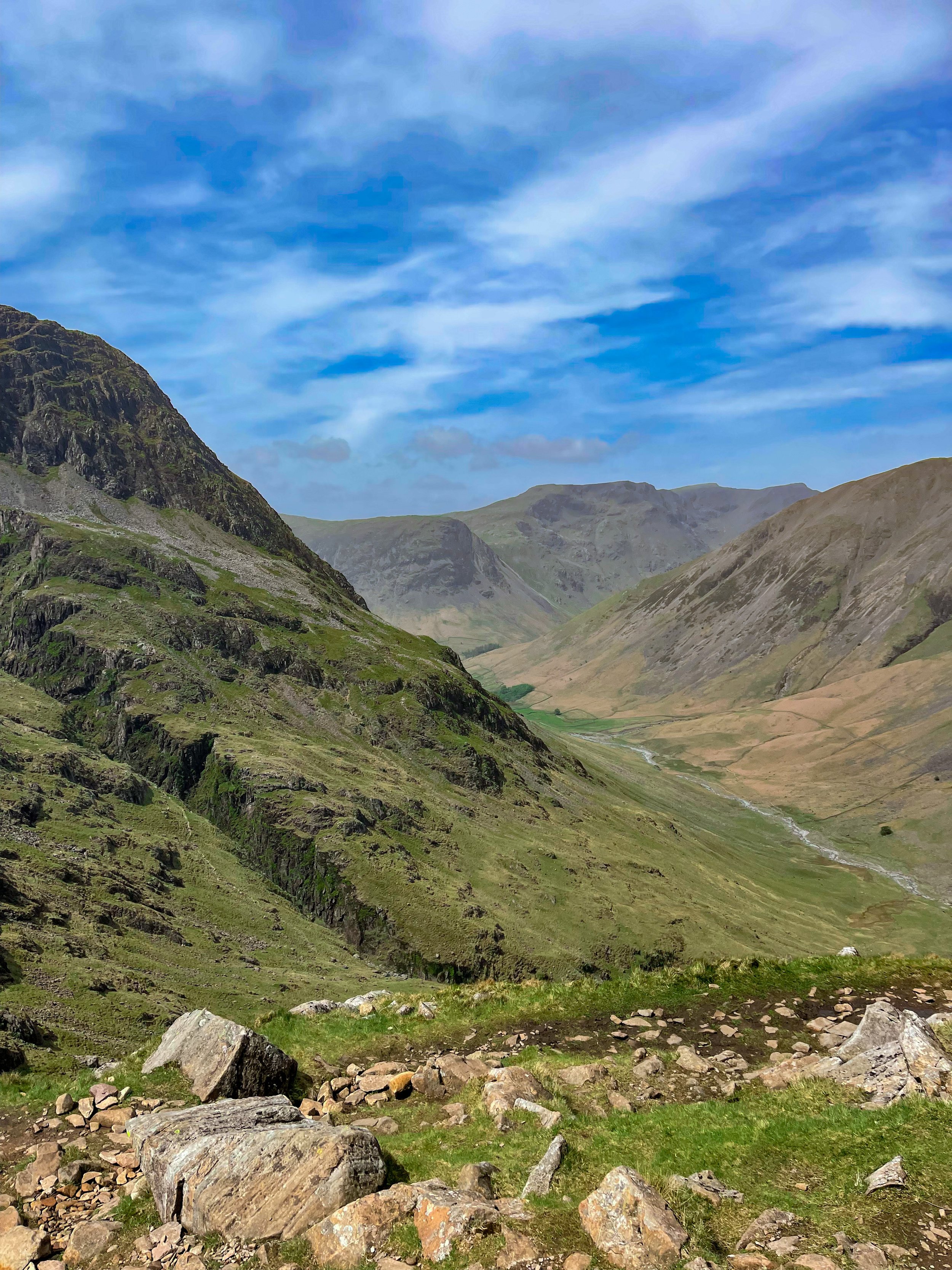
Taking on the Corridor Route, in our opinion, offers better views and a more diverse variety of terrain. It’s usually walked via Styhead Tarn from Borrowdale, but you can pick up the Corridor from Wasdale as you pass under the slopes of the Great Gable. Choosing this route means scrambling is required at parts, but the incredible vistas are well worth it.
The trail is a pretty straightforward one to follow, with a clear path for most of the way. Once approaching Greta Gill, there is a slight scramble down but it’s easy enough to descend.
The Corridor is a real mountaineers route and rewards you with breathtaking rock scenery once you ascend on the Corridor itself. In our opinion, this circular walk is the best option for breaking up the ascent while offering incredible views everyway you turn.
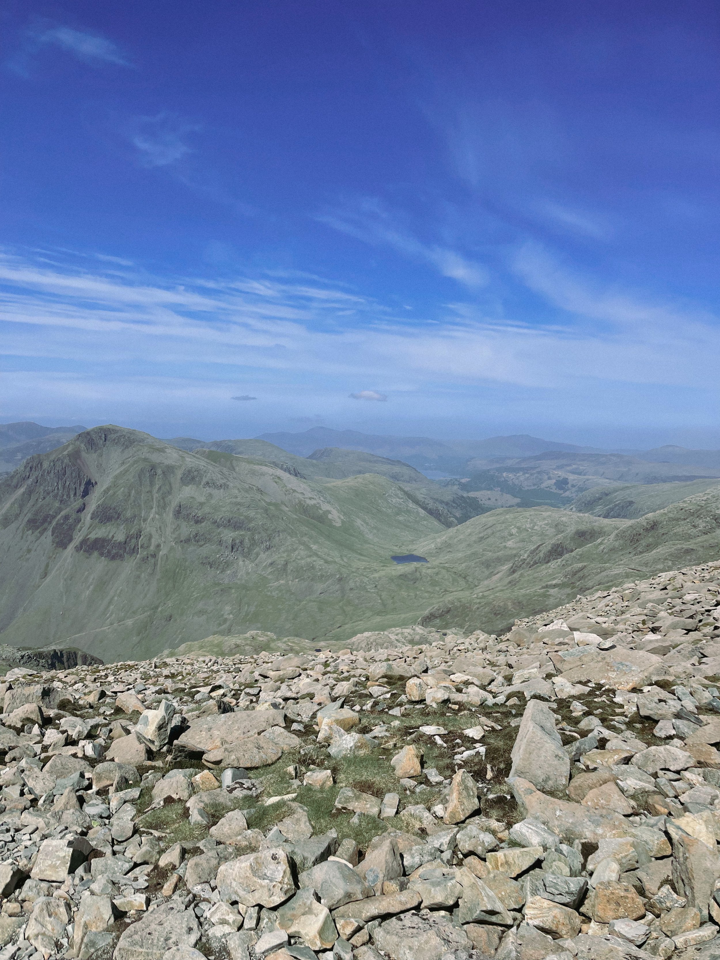
Once reaching the summit, if you’re lucky enough to be blessed with a clear weather day—the views you’re rewarded with will take you back and then some. If the weather permits, you’ll be able to bask in the beautiful Cumbrian coastline, with views stretching out to the Isle of Man and beyond.
For those looking for a real challenge, why not take on Sca Fell (England’s second highest mountain) and Scafell Pike in one day? Climbing both in one day throws in bonus views —and double the bragging rights— with an exhilarating descent back to Wasdale.
Fancy following our route up to England’s biggest mountain? Click here
UPHILL CHALLENGES:
WALKS WITH WATERFALLS:


